Air Ambulance Helicopter to New Alresford, Grange Road
Friday, 17 April 2026 | 18:25 | From Amport
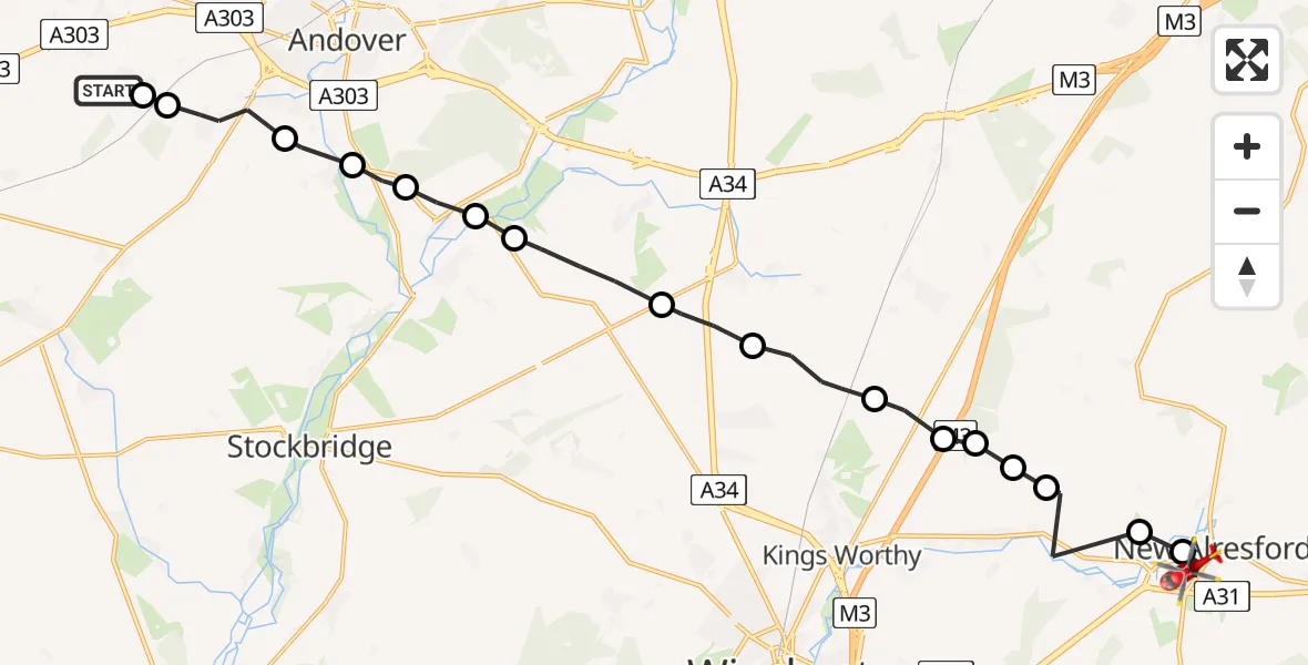
On Friday, 17 April 2026 at 18:25, a Air Ambulance Helicopter departed from Amport to New Alresford. It was the Air Ambulance Helicopter with registration number G-HIOW. The flight lasted 10 minutes. During that period, the aircraft travelled 21 miles at an average speed of 131 miles per hour at a maximum altitude of 1575 feet.
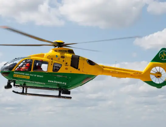
Helicopter: G-HIOW
The helicopter G-HIOW is used as a air ambulance helicopter. The main purpose of this aircraft is to transport a Mobile Medical Team to an incident as quickly as possible, enabling the trauma doctor to provide immediate first aid on site. The aircraft is flying this flight as Air Ambulance Helicopter.
Photo: JF2608
22 miles
1575 feet
131 mph
10 minutes
18:25
18:35

Route
New Alresford, Hampshire18:35
Grange Road, Hampshire18:34
New Alresford, Hampshire18:33
Old Alresford, Hampshire18:33
Itchen Abbas, Hampshire18:32
Winchester, Hampshire18:32
Itchen Abbas, Hampshire18:32
Winchester, Hampshire18:31
Micheldever, Hampshire18:31
Winchester, Hampshire18:30
Sutton Scotney, Hampshire18:29
Barton Stacey, Hampshire18:28
Chilbolton, Hampshire18:28
Wherwell, Hampshire18:27
Goodworth Clatford, Hampshire18:27
Upper Clatford, Hampshire18:26
Abbotts Ann, Hampshire18:25
Monxton, Hampshire18:25
Amport, Hampshire18:25
Live flights
Today
Flights Amport
Air Ambulance Helicopter to Itchen, Seaward Road13 Apr 20:28
Air Ambulance Helicopter to Newtown, Weston Lane12 Apr 19:37
Air Ambulance Helicopter to Amport, A30312 Apr 16:15
Helicopter flights on your website?
You can easily display helicopter flights on your own website. Use the embed code.
