Air Ambulance Helicopter to Shirley, Dale Valley Road
Friday, 17 April 2026 | 7:31 | From Amport
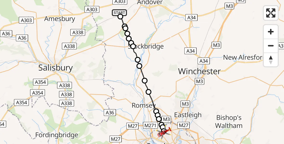
On Friday, 17 April 2026 at 7:31, a Air Ambulance Helicopter departed from Amport to Shirley. It was the Air Ambulance Helicopter with registration number G-HIOW. The flight lasted 10 minutes. During that period, the aircraft travelled 19 miles at an average speed of 118 miles per hour at a maximum altitude of 1050 feet.
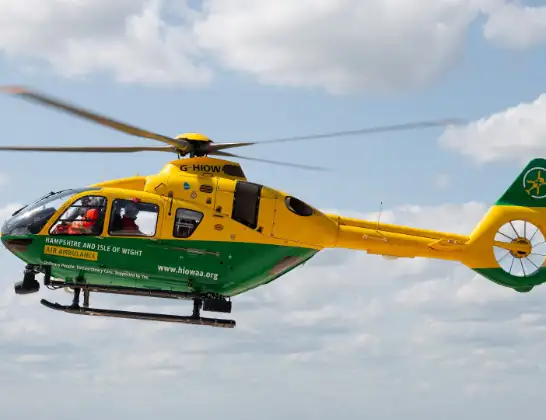
Helicopter: G-HIOW
The helicopter G-HIOW is used as a air ambulance helicopter. The main purpose of this aircraft is to transport a Mobile Medical Team to an incident as quickly as possible, enabling the trauma doctor to provide immediate first aid on site. The aircraft is flying this flight as Air Ambulance Helicopter.
Photo: JF2608
19 miles
1050 feet
118 mph
10 minutes
07:31
07:40

Route
Dale Valley Road, Southampton07:40
University Hospital Southampton, Southampton07:40
Springford Road, Southampton07:40
Aldermoor, Southampton07:40
Chilworth, Hampshire07:39
Rownhams, Hampshire07:39
Upton, Hampshire07:39
North Baddesley, Hampshire07:38
Romsey, Hampshire07:37
Michelmersh, Hampshire07:36
King's Somborne, Hampshire07:35
Houghton, Hampshire07:34
Test Valley, Hampshire07:34
Nether Wallop, Hampshire07:33
Test Valley, Hampshire07:33
Nether Wallop, Hampshire07:33
Middle Wallop Airfield, Middle Wallop07:32
Over Wallop, Hampshire07:32
Test Valley, Hampshire07:31
Georgia Lane, Hampshire07:31
Live flights
Today
Flights Shirley
Flights Amport
Air Ambulance Helicopter to Itchen, Seaward Road13 Apr 20:28
Air Ambulance Helicopter to Newtown, Weston Lane12 Apr 19:37
Air Ambulance Helicopter to Amport, A30312 Apr 16:15
Helicopter flights on your website?
You can easily display helicopter flights on your own website. Use the embed code.
