Air Ambulance Helicopter to Cardiff Heliport
Thursday, 16 April 2026 | 11:44 | From Pencoed
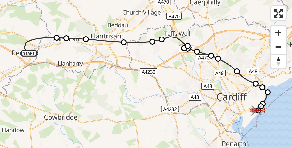
On Thursday, 16 April 2026 at 11:44, a Air Ambulance Helicopter departed from Pencoed to Cardiff Heliport. It was the Air Ambulance Helicopter with registration number G-WROL. The flight lasted 11 minutes. During that period, the aircraft travelled 21 miles at an average speed of 108 miles per hour at a maximum altitude of 1225 feet.
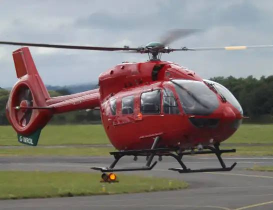
Helicopter: G-WROL
The helicopter G-WROL is used as a air ambulance helicopter. The main purpose of this aircraft is to transport a Mobile Medical Team to an incident as quickly as possible, enabling the trauma doctor to provide immediate first aid on site. The aircraft is flying this flight as Air Ambulance Helicopter.
Photo: James from Cheltenham, Gloucestershire
21 miles
1225 feet
108 mph
12 minutes
11:44
11:55

Route
Cardiff Heliport, Cardiff11:55
Cardiff Heliport, Cardiff11:55
Cardiff Heliport, Cardiff11:54
Pengam Green, Cardiff11:54
Trowbridge, Cardiff11:53
Pengam Green, Cardiff11:53
Rumney, Cardiff11:53
Penylan, Cardiff11:52
Birchgrove, Cardiff11:51
Pantmawr, Cardiff11:51
Coryton, Cardiff11:51
Tongwynlais, Cardiff11:50
Gwaelod-y-garth, Cardiff11:50
Tongwynlais, Cardiff11:50
Gwaelod-y-garth, Cardiff11:48
Pentyrch, Cardiff11:48
Creigiau, Cardiff11:47
Llantrisant, Rhondda Cynon Taf11:46
Llanharan, Rhondda Cynon Taf11:46
Brynna, Rhondda Cynon Taf11:46
Ballarat, Bridgend11:45
Pencoed, Bridgend11:44
Live flights
Today
Flights Pencoed
Air Ambulance Helicopter to Cardiff Heliport16 Apr 11:44
Police Helicopter to Boverton, Monmouth Way14 Apr 14:36
Police Helicopter to Pencoed, Cae Talcen14 Apr 14:30
Helicopter flights on your website?
You can easily display helicopter flights on your own website. Use the embed code.
