Police Helicopter to Pencoed, Cae Talcen
Tuesday, 14 April 2026 | 14:30 | From MOD St Athan
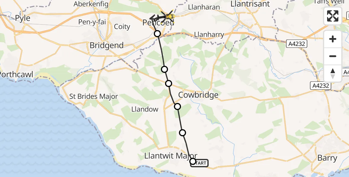
On Tuesday, 14 April 2026 at 14:30, a Police Helicopter departed from MOD St Athan to Pencoed. It was the Police Helicopter with registration number G-NWOI. The flight lasted 6 minutes. During that period, the aircraft travelled 12 miles at an average speed of 119 miles per hour at a maximum altitude of 875 feet.
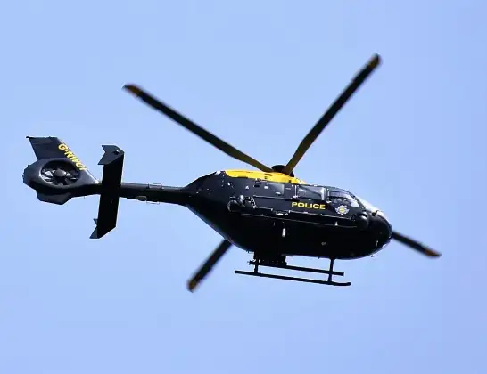
Helicopter: G-NWOI
The helicopter G-NWOI is used by the British police. The helicopter is deployed in pursuits, missing persons cases and other incidents where a helicopter provides added value.
Photo: Alec Wilson
13 miles
875 feet
119 mph
7 minutes
14:30
14:36

Route
Cae Talcen, Bridgend14:36
Pencoed, Bridgend14:34
Llangan, Vale of Glamorgan14:33
Penllyn, Vale of Glamorgan14:32
Llysworney, Vale of Glamorgan14:32
Sigingstone, Vale of Glamorgan14:31
Boverton, Vale of Glamorgan14:30
MOD St Athan, St Athan, Vale of Glamorgan14:30
Live flights
Today
Flights Pencoed
Air Ambulance Helicopter to Cardiff Heliport16 Apr 11:44
Police Helicopter to Boverton, Monmouth Way14 Apr 14:36
Police Helicopter to Pencoed, Cae Talcen14 Apr 14:30
Helicopter flights on your website?
You can easily display helicopter flights on your own website. Use the embed code.
