Police Helicopter to North Weald Airfield
Wednesday, 15 April 2026 | 3:42 | From North Weald Airfield
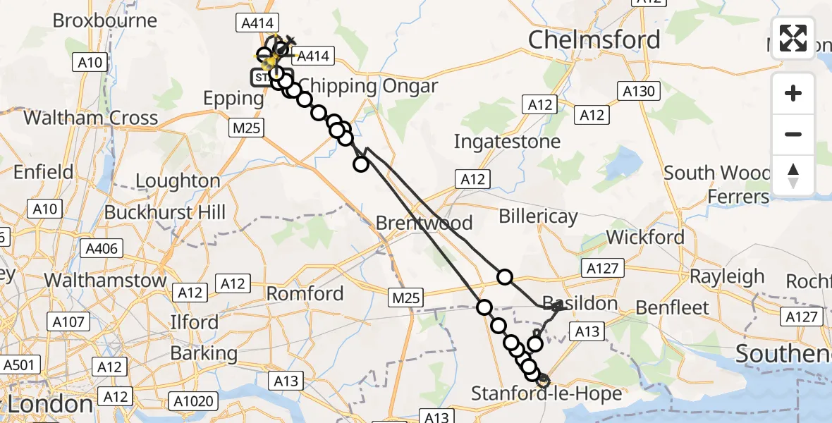
On Wednesday, 15 April 2026 at 3:42, a Police Helicopter departed from North Weald Airfield to North Weald Airfield. It was the Police Helicopter with registration number G-POLD. The flight lasted 31 minutes. During that period, the aircraft travelled 48 miles at an average speed of 93 miles per hour at a maximum altitude of 1200 feet.
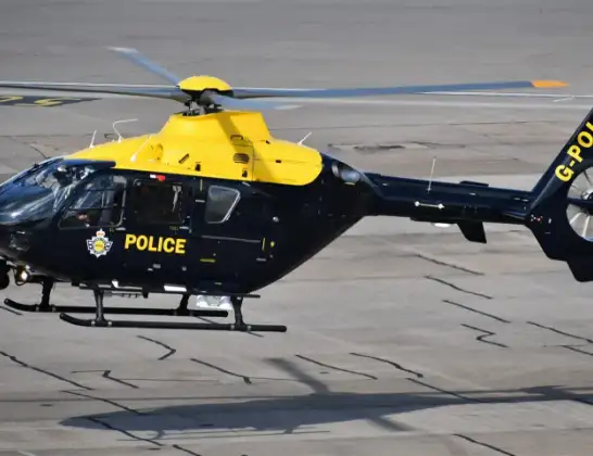
Helicopter: G-POLD
The helicopter G-POLD is used by the British police. The helicopter is deployed in pursuits, missing persons cases and other incidents where a helicopter provides added value.
Photo: Alec Wilson
49 miles
1200 feet
93 mph
32 minutes
03:42
04:14

Route
North Weald Airfield, Epping, Essex04:14
North Weald Airfield, Epping, Essex04:14
North Weald Bassett, Essex04:12
North Weald Airfield, Epping, Essex04:12
North Weald Bassett, Essex04:11
Stapleford Tawney, Essex04:11
Toot Hill, Essex04:10
Stanford Rivers, Essex04:10
Little End, Essex04:10
Brentwood, Essex04:05
Bulphan, Essex04:05
Horndon On The Hill, Essex04:04
Langdon Hills Golf and Country Club, Essex04:04
Horndon On The Hill, Essex04:03
Stanford-le-Hope, Essex04:00
Horndon On The Hill, Essex03:59
Stanford-le-Hope, Essex03:57
Basildon, Essex03:50
Brentwood, Essex03:45
Little End, Essex03:45
Stanford Rivers, Essex03:44
Toot Hill, Essex03:43
Stapleford Tawney, Essex03:43
North Weald Bassett, Essex03:43
Epping Road, Essex03:42
Live flights
Today
Helicopter flights on your website?
You can easily display helicopter flights on your own website. Use the embed code.
