Air Ambulance Helicopter to University Hospital Southampton, Seymour Road
Wednesday, 15 April 2026 | 18:31 | From St Mary's
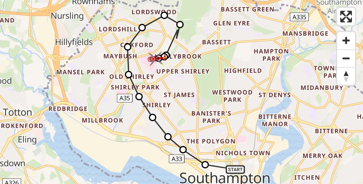
On Wednesday, 15 April 2026 at 18:31, a Air Ambulance Helicopter departed from St Mary's to University Hospital Southampton. It was the Air Ambulance Helicopter with registration number G-HIOW. The flight lasted 4 minutes. During that period, the aircraft travelled 6 miles at an average speed of 75 miles per hour at a maximum altitude of 900 feet.
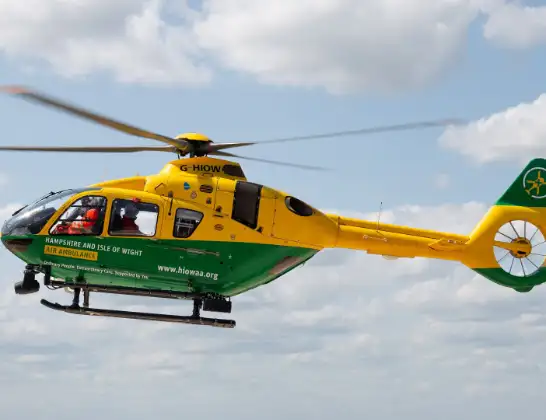
Helicopter: G-HIOW
The helicopter G-HIOW is used as a air ambulance helicopter. The main purpose of this aircraft is to transport a Mobile Medical Team to an incident as quickly as possible, enabling the trauma doctor to provide immediate first aid on site. The aircraft is flying this flight as Air Ambulance Helicopter.
Photo: JF2608
6 miles
900 feet
75 mph
5 minutes
18:31
18:36

Route
University Hospital Southampton, Southampton18:36
University Hospital Southampton, Southampton18:36
Shirley, Southampton18:35
Seymour Road, Southampton18:35
Dunkirk Close, Southampton18:35
Arnheim Road, Southampton18:35
Hollybrook, Southampton18:34
Chilworth, Hampshire18:34
Aldermoor, Southampton18:34
Coxford, Southampton18:34
Old Shirley, Southampton18:33
Shirley Park, Southampton18:33
Shirley, Southampton18:33
Freemantle, Southampton18:33
Hill, Southampton18:32
Western Esplanade, Southampton18:32
St Mary's, Southampton18:31
Today
Police Helicopter to Falkirk02:12:08
Helicopter flights on your website?
You can easily display helicopter flights on your own website. Use the embed code.
