Air Ambulance Helicopter to Beach Road
Wednesday, 15 April 2026 | 18:11 | From Holyhead
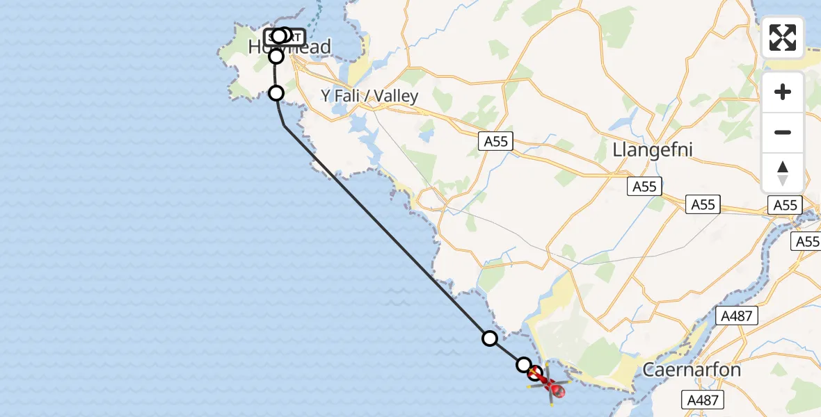
On Wednesday, 15 April 2026 at 18:11, a Air Ambulance Helicopter departed from Holyhead to . It was the Air Ambulance Helicopter with registration number G-WOBR. The flight lasted 10 minutes. During that period, the aircraft travelled 17 miles at an average speed of 101 miles per hour at a maximum altitude of 825 feet.
Helicopter: G-WOBR
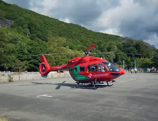
The helicopter G-WOBR is used as a air ambulance helicopter. The main purpose of this aircraft is to transport a Mobile Medical Team to an incident as quickly as possible, enabling the trauma doctor to provide immediate first aid on site. The aircraft is flying this flight as Air Ambulance Helicopter.
Photo: Hefin Owen
18 miles
825 feet
101 mph
11 minutes
18:11
18:21

Route
18:21
Hermon18:21
18:20
Bodorgan18:20
Penrhosfeilw18:13
Penrhosfeilw, Isle of Anglesey18:12
Holyhead, Isle of Anglesey18:11
Holyhead18:11
Beach Road, Isle of Anglesey18:11
Live flights
Today
Flights Holyhead
Coastguard Helicopter to Holyhead, Holyhead Road10 May 05:43
Coastguard Helicopter to Holyhead, Holyhead Road10 May 05:43
Coastguard Helicopter to Holyhead, Holyhead Road10 May 05:46
Coastguard Helicopter to Holyhead, Holyhead Road10 May 05:43
Coastguard Helicopter to Holyhead, Holyhead Road10 May 05:41
Air Ambulance Helicopter to Beach Road15 Apr 18:11
Air Ambulance Helicopter to Holyhead, Beach Road15 Apr 17:27
Air Ambulance Helicopter to Holyhead, Beach Road15 Apr 16:32
Helicopter flights on your website?
You can easily display helicopter flights on your own website. Use the embed code.
