Air Ambulance Helicopter to Ashford, Kennington Road
Tuesday, 14 April 2026 | 13:04 | From Kemsley
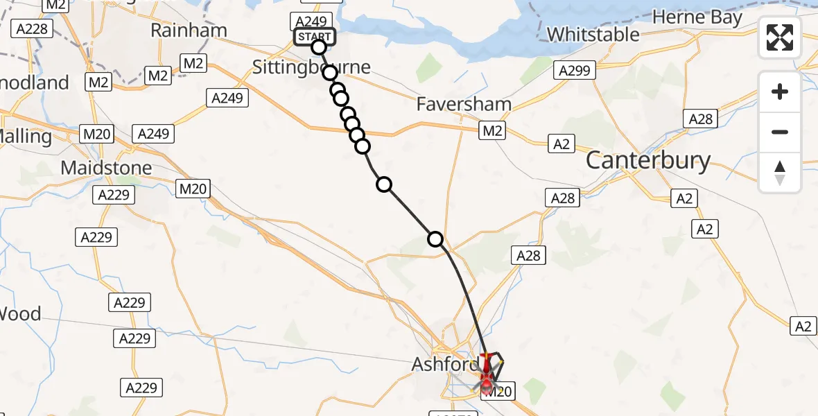
On Tuesday, 14 April 2026 at 13:04, a Air Ambulance Helicopter departed from Kemsley to Ashford. It was the Air Ambulance Helicopter with registration number G-LNAC. The flight lasted 14 minutes. During that period, the aircraft travelled 20 miles at an average speed of 88 miles per hour at a maximum altitude of 1350 feet.
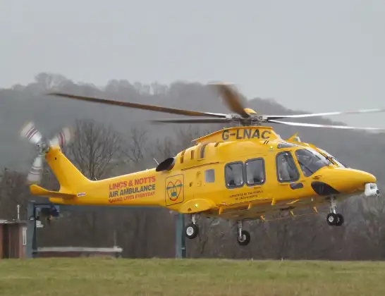
Helicopter: G-LNAC
The helicopter G-LNAC is used as a air ambulance helicopter. The main purpose of this aircraft is to transport a Mobile Medical Team to an incident as quickly as possible, enabling the trauma doctor to provide immediate first aid on site. The aircraft is flying this flight as Air Ambulance Helicopter.
Photo: James from Cheltenham, Gloucestershire
21 miles
1350 feet
88 mph
14 minutes
13:04
13:18

Route
Kennington Road, Kent13:18
Ashford, Kent13:10
Swale, Kent13:08
Newnham, Kent13:07
Milstead, Kent13:07
Lynsted, Kent13:07
Bapchild, Kent13:07
New Orchard Farm Airstrip, Sittingbourne, Kent13:06
Rodmersham, Kent13:06
Bapchild, Kent13:05
Sittingbourne, Kent13:05
Grovehurst Avenue, Kent13:04
Live flights
Police Helicopter on its way from Ewelme13 Jul 22:24
Today
Police Helicopter to Bournemouth Airport13 Jul 23:55
Air Ambulance Helicopter to Cardiff Heliport13 Jul 23:38
Police Helicopter to Birmingham Airport13 Jul 23:21
Police Helicopter to Irlam, Twelve Yards Road13 Jul 23:00
Flights Ashford
Coastguard Helicopter to Manston Airport12 Jul 14:58
Coastguard Helicopter to Ashford, Watery Lane12 Jul 14:36
Flights Kemsley
Air Ambulance Helicopter to Rochester Airport18 Mar 17:41
Air Ambulance Helicopter to Rochester Airport25 Feb 11:44
Air Ambulance Helicopter to Kemsley, Swale Way25 Feb 10:25
Helicopter flights on your website?
You can easily display helicopter flights on your own website. Use the embed code.
