Air Ambulance Helicopter to Rochester Airport
Wednesday, 18 March 2026 | 17:41 | From Kemsley
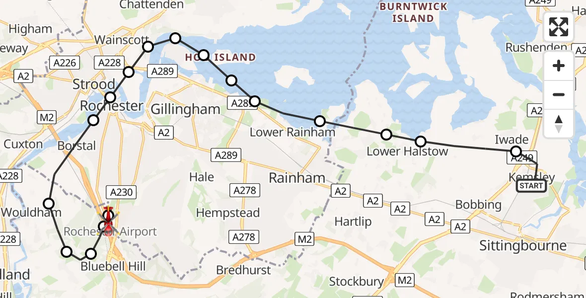
On Wednesday, 18 March 2026 at 17:41, a Air Ambulance Helicopter departed from Kemsley to Rochester Airport. It was the Air Ambulance Helicopter with registration number G-LNAC. The flight lasted 11 minutes. During that period, the aircraft travelled 19 miles at an average speed of 99 miles per hour at a maximum altitude of 1025 feet.
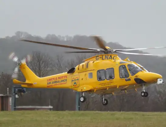
Helicopter: G-LNAC
The helicopter G-LNAC is used as a air ambulance helicopter. The main purpose of this aircraft is to transport a Mobile Medical Team to an incident as quickly as possible, enabling the trauma doctor to provide immediate first aid on site. The aircraft is flying this flight as Air Ambulance Helicopter.
Photo: James from Cheltenham, Gloucestershire
19 miles
1025 feet
99 mph
12 minutes
17:41
17:53

Route
Rochester Airport, Rochester, Kent17:53
Rochester Airport, Rochester, Kent17:50
Borstal, Tonbridge and Malling17:50
Bluebell Hill, Chatham17:50
Burham, Tonbridge and Malling17:49
Wouldham, Tonbridge and Malling17:48
Borstal, Rochester17:47
Rochester, Rochester17:47
Wainscott, Wainscott17:47
Upper Upnor, Upper Upnor17:46
Gillingham, Gillingham17:46
Hoo St. Werburgh, Hoo St. Werburgh17:46
Gillingham, Gillingham17:45
Rainham, Rainham17:45
Lower Rainham, Gillingham17:45
Upchurch, Swale17:44
Lower Halstow, Swale17:44
Pintail Drive, Swale17:43
Kemsley, Swale17:41
Live flights
Police Helicopter on its way from Ewelme13 Jul 22:24
Today
Police Helicopter to Bournemouth Airport13 Jul 23:55
Air Ambulance Helicopter to Cardiff Heliport13 Jul 23:38
Police Helicopter to Birmingham Airport13 Jul 23:21
Police Helicopter to Irlam, Twelve Yards Road13 Jul 23:00
Flights Kemsley
Air Ambulance Helicopter to Rochester Airport18 Mar 17:41
Air Ambulance Helicopter to Rochester Airport25 Feb 11:44
Air Ambulance Helicopter to Kemsley, Swale Way25 Feb 10:25
Helicopter flights on your website?
You can easily display helicopter flights on your own website. Use the embed code.
