Air Ambulance Helicopter to St Blazey, A391
Monday, 13 April 2026 | 20:49 | From Whitecross
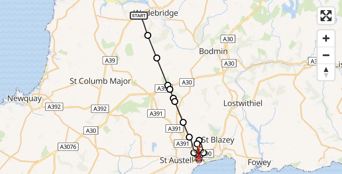
On Monday, 13 April 2026 at 20:49, a Air Ambulance Helicopter departed from Whitecross to St Blazey. It was the Air Ambulance Helicopter with registration number G-CRWL. The flight lasted 13 minutes. During that period, the aircraft travelled 17 miles at an average speed of 76 miles per hour at a maximum altitude of 1425 feet.
Helicopter: G-CRWL
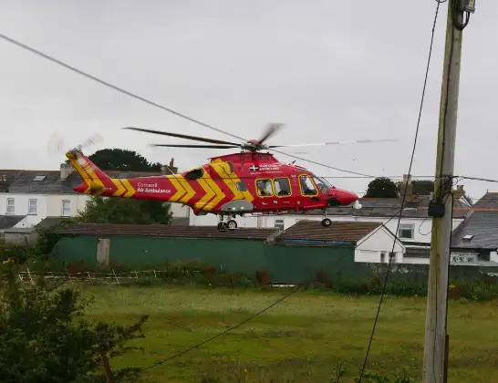
The helicopter G-CRWL is used as a air ambulance helicopter. The main purpose of this aircraft is to transport a Mobile Medical Team to an incident as quickly as possible, enabling the trauma doctor to provide immediate first aid on site. The aircraft is flying this flight as Air Ambulance Helicopter.
Photo: Pete Cruse
17 miles
1425 feet
76 mph
14 minutes
20:49
21:02

Route
A391, Cornwall21:02
St Blazey, Cornwall21:00
Trethurgy, Cornwall21:00
St Blazey, Cornwall20:59
Charlestown, Cornwall20:58
St. Austell, Cornwall20:58
Trethurgy, Cornwall20:57
Penwithick, Cornwall20:56
Bugle, Cornwall20:55
Luxulyan, Cornwall20:55
Roche Barton Farm Airstrip, Saint Austell, Cornwall20:54
St. Columb Major, Cornwall20:54
Withiel, Cornwall20:53
St. Breock, Cornwall20:51
West Hill, Cornwall20:49
Live flights
Police Helicopter on its way from MOD St Athan13 Apr 22:47
Police Helicopter on its way from South Nutfield13 Apr 22:47
Police Helicopter on its way from East Ardsley13 Apr 22:17
Today
Police Helicopter to Hawarden Airport13 Apr 22:17
Police Helicopter to Harborough, Sulby Road13 Apr 22:12
Coastguard Helicopter to Solent Airport13 Apr 22:07
Air Ambulance Aircraft to Glasgow Airport13 Apr 22:03
Air Ambulance Helicopter to Henstridge Airfield13 Apr 21:52
Police Helicopter to North Weald Airfield13 Apr 21:46
Coastguard Helicopter to Humberside Airport13 Apr 21:45
Flights Whitecross
Air Ambulance Helicopter to St Blazey, A39113 Apr 20:49
Helicopter flights on your website?
You can easily display helicopter flights on your own website. Use the embed code.
