Air Ambulance Helicopter to Thruxton, Amesbury Road
Monday, 13 April 2026 | 23:15 | From University Hospital Southampton
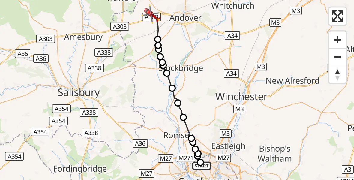
On Monday, 13 April 2026 at 23:15, a Air Ambulance Helicopter departed from University Hospital Southampton to Thruxton. It was the Air Ambulance Helicopter with registration number G-HIOW. The flight lasted 10 minutes. During that period, the aircraft travelled 21 miles at an average speed of 133 miles per hour at a maximum altitude of 1525 feet.
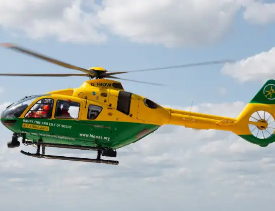
Helicopter: G-HIOW
The helicopter G-HIOW is used as a air ambulance helicopter. The main purpose of this aircraft is to transport a Mobile Medical Team to an incident as quickly as possible, enabling the trauma doctor to provide immediate first aid on site. The aircraft is flying this flight as Air Ambulance Helicopter.
Photo: JF2608
22 miles
1525 feet
133 mph
10 minutes
23:15
23:24

Route
Amesbury Road, Hampshire23:24
Monxton, Hampshire23:23
Test Valley, Hampshire23:22
Middle Wallop Airfield, Middle Wallop23:22
Nether Wallop, Hampshire23:22
Test Valley, Hampshire23:21
Nether Wallop, Hampshire23:21
Test Valley, Hampshire23:21
Houghton, Hampshire23:20
King's Somborne, Hampshire23:19
Michelmersh, Hampshire23:18
Romsey, Hampshire23:17
North Baddesley, Hampshire23:17
Upton, Hampshire23:16
Rownhams, Hampshire23:16
Lordshill, Hampshire23:16
Springford Gardens, Southampton23:15
University Hospital Southampton, Southampton23:15
Live flights
Today
Flights Thruxton
Police Helicopter to Test Valley, A30328 Apr 11:46
Air Ambulance Helicopter to Thruxton, A30319 Apr 14:51
Air Ambulance Helicopter to Thruxton, A30319 Apr 13:01
Air Ambulance Helicopter to Thruxton, A30319 Apr 12:50
Air Ambulance Helicopter to Thruxton19 Apr 03:13
Helicopter flights on your website?
You can easily display helicopter flights on your own website. Use the embed code.
