Air Ambulance Helicopter to University Hospital Southampton, Norham Avenue
Monday, 13 April 2026 | 21:46 | From Woolston
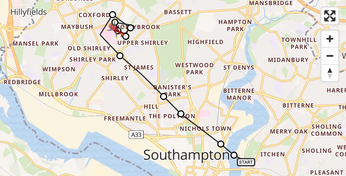
On Monday, 13 April 2026 at 21:46, a Air Ambulance Helicopter departed from Woolston to University Hospital Southampton. It was the Air Ambulance Helicopter with registration number G-HIOW. The flight lasted 4 minutes. During that period, the aircraft travelled 5 miles at an average speed of 75 miles per hour at a maximum altitude of 950 feet.
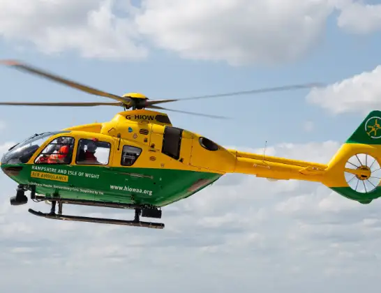
Helicopter: G-HIOW
The helicopter G-HIOW is used as a air ambulance helicopter. The main purpose of this aircraft is to transport a Mobile Medical Team to an incident as quickly as possible, enabling the trauma doctor to provide immediate first aid on site. The aircraft is flying this flight as Air Ambulance Helicopter.
Photo: JF2608
6 miles
950 feet
75 mph
5 minutes
21:46
21:50

Route
University Hospital Southampton, Southampton21:50
University Hospital Southampton, Southampton21:50
Norham Avenue, Southampton21:49
Dale Valley Road, Southampton21:49
Aldermoor, Southampton21:49
Dale Valley Gardens, Southampton21:48
Shirley, Southampton21:48
Aldermoor, Southampton21:48
Shirley, Southampton21:47
Banister's Park, Southampton21:47
Bevois Town, Southampton21:46
Woolston, Southampton21:46
Hazel Road, 21:46
Woolston, Southampton21:46
Live flights
Today
Flights Woolston
Air Ambulance Helicopter to Gosport, Rydal Road30 Jun 17:47
Air Ambulance Helicopter to Southampton Airport25 Jun 17:16
Air Ambulance Helicopter to Newport, Dodnor Lane19 Jun 12:45
Helicopter flights on your website?
You can easily display helicopter flights on your own website. Use the embed code.
