Air Ambulance Helicopter to Coventry Airport
Friday, 10 April 2026 | 14:41 | From Tamworth
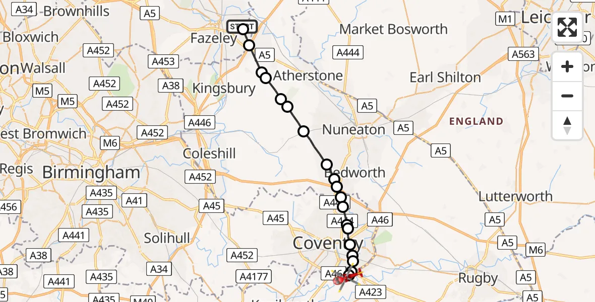
On Friday, 10 April 2026 at 14:41, a Air Ambulance Helicopter departed from Tamworth to Coventry Airport. It was the Air Ambulance Helicopter with registration number G-WNAS. The flight lasted 9 minutes. During that period, the aircraft travelled 20 miles at an average speed of 134 miles per hour at a maximum altitude of 1175 feet.
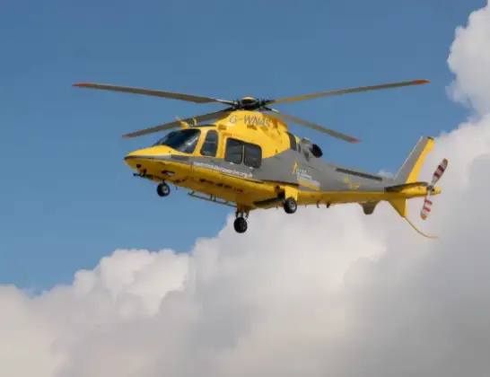
Helicopter: G-WNAS
The helicopter G-WNAS is used as an ambulance helicopter. The helicopter is equipped with a stretcher for transporting patients. The helicopter is often used to transport to hospitals.
Photo: Tony Melony
20 miles
1175 feet
134 mph
9 minutes
14:41
14:50

Route
Coventry Airport, Coventry, West Midlands14:50
Coventry Airport, Coventry, West Midlands14:50
Warwick, Warwickshire14:49
Rugby, Warwickshire14:49
Willenhall, Coventry14:49
Ball Hill, Coventry14:48
Stoke Heath, Coventry14:48
Paradise, Coventry14:48
Manor House, Coventry14:47
Longford, Coventry14:47
Corley, Warwickshire14:47
Ash Green, Warwickshire14:46
Bedworth, Warwickshire14:46
Nuneaton and Bedworth, Warwickshire14:45
Ansley CP, Warwickshire14:44
Atherstone, Warwickshire14:44
Baxterley CP, Warwickshire14:43
Baddesley Ensor, Warwickshire14:43
Dordon CP, Warwickshire14:42
Tamworth, Staffordshire14:41
Quince, West Midlands - Staffordshire14:41
Live flights
Flights Tamworth
Air Ambulance Helicopter to Coventry Airport10 Apr 14:41
Air Ambulance Helicopter to Tamworth, Spruce10 Apr 13:52
Air Ambulance Helicopter to Tamworth, Spruce10 Apr 13:43
Air Ambulance Helicopter to Coventry Airport5 Apr 15:44
Helicopter flights on your website?
You can easily display helicopter flights on your own website. Use the embed code.
