Air Ambulance Helicopter to Coventry Airport
Sunday, 5 April 2026 | 15:44 | From Tamworth
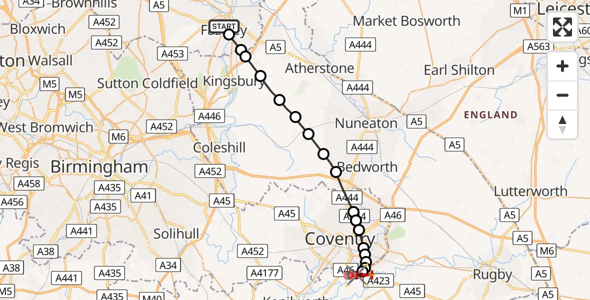
On Sunday, 5 April 2026 at 15:44, a Air Ambulance Helicopter departed from Tamworth to Coventry Airport. It was the Air Ambulance Helicopter with registration number G-WNAS. The flight lasted 8 minutes. During that period, the aircraft travelled 21 miles at an average speed of 161 miles per hour at a maximum altitude of 1750 feet.
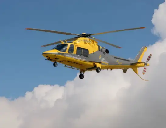
Helicopter: G-WNAS
The helicopter G-WNAS is used as an ambulance helicopter. The helicopter is equipped with a stretcher for transporting patients. The helicopter is often used to transport to hospitals.
Photo: Tony Melony
21 miles
1750 feet
161 mph
8 minutes
15:44
15:52

Route
Coventry Airport, Coventry, West Midlands15:52
Coventry Airport, Coventry, West Midlands15:51
Tollbar End, Warwickshire15:51
Rugby, Warwickshire15:51
Willenhall, Coventry15:50
Stoke Aldermoor, Coventry15:50
Stoke Heath, Coventry15:50
Paradise, Coventry15:49
Foleshill, Coventry15:49
Ash Green, Warwickshire15:48
North Warwickshire, Warwickshire15:48
New Arley, Warwickshire15:47
Ansley CP, Warwickshire15:47
North Warwickshire, Warwickshire15:46
Hurley, Warwickshire15:45
Wood End, Warwickshire15:45
North Warwickshire, Warwickshire15:45
Tamworth, Staffordshire15:44
Morgan Road, West Midlands - Staffordshire15:44
Live flights
Flights Tamworth
Air Ambulance Helicopter to Coventry Airport10 Apr 14:41
Air Ambulance Helicopter to Tamworth, Spruce10 Apr 13:52
Air Ambulance Helicopter to Tamworth, Spruce10 Apr 13:43
Air Ambulance Helicopter to Coventry Airport5 Apr 15:44
Helicopter flights on your website?
You can easily display helicopter flights on your own website. Use the embed code.
