Air Ambulance Helicopter to Warminster, Woodcock Road cycle path
Thursday, 9 April 2026 | 12:30 | From Wiltshire Air Ambulance
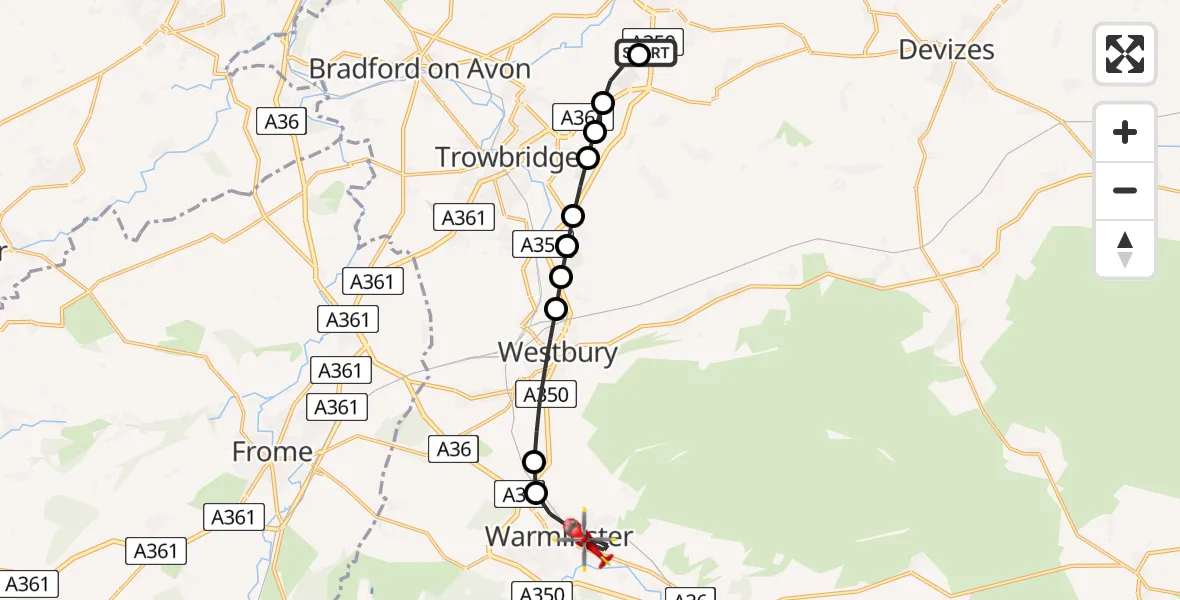
On Thursday, 9 April 2026 at 12:30, a Air Ambulance Helicopter departed from Wiltshire Air Ambulance to Warminster. It was the Air Ambulance Helicopter with registration number G-WLTS. The flight lasted 6 minutes. During that period, the aircraft travelled 12 miles at an average speed of 117 miles per hour at a maximum altitude of 1000 feet.
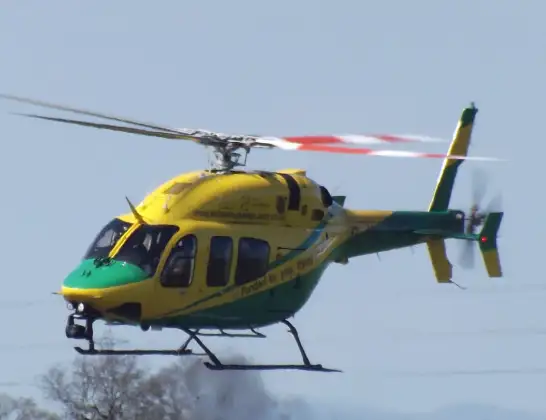
Helicopter: G-WLTS
The helicopter G-WLTS is used as a air ambulance helicopter. The main purpose of this aircraft is to transport a Mobile Medical Team to an incident as quickly as possible, enabling the trauma doctor to provide immediate first aid on site. The aircraft is flying this flight as Air Ambulance Helicopter.
Photo: James
13 miles
1000 feet
117 mph
7 minutes
12:30
12:36

Route
Woodcock Road cycle path, Wiltshire12:36
Warminster, Wiltshire12:34
Upton Scudamore, Wiltshire12:34
Westbury, Wiltshire12:33
Yarnbrook, Wiltshire12:32
Heywood, Wiltshire12:32
West Ashton, Wiltshire12:32
Steeple Ashton, Wiltshire12:31
Hilperton, Wiltshire12:31
Trowbridge, Wiltshire12:31
Semington, Wiltshire12:30
Commerce Way, Wiltshire12:30
Live flights
Today
Flights Warminster
Helicopter flights on your website?
You can easily display helicopter flights on your own website. Use the embed code.
