Air Ambulance Helicopter to Warminster, Portway Lane
Saturday, 28 February 2026 | 21:16 | From Wiltshire Air Ambulance
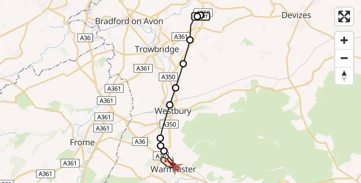
On Saturday, 28 February 2026 at 21:16, a Air Ambulance Helicopter departed from Wiltshire Air Ambulance to Warminster. It was the Air Ambulance Helicopter with registration number G-WLTS. The flight lasted 14 minutes. During that period, the aircraft travelled 13 miles at an average speed of 59 miles per hour at a maximum altitude of 1200 feet.
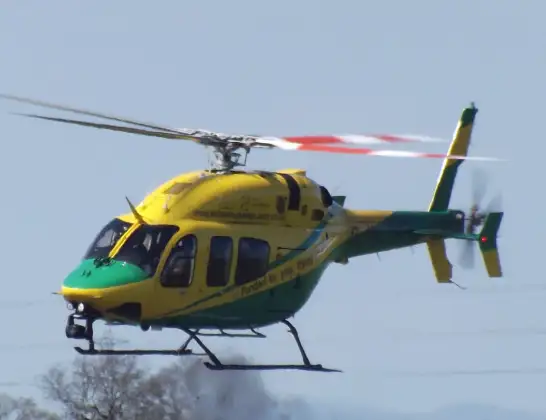
Helicopter: G-WLTS
The helicopter G-WLTS is used as a air ambulance helicopter. The main purpose of this aircraft is to transport a Mobile Medical Team to an incident as quickly as possible, enabling the trauma doctor to provide immediate first aid on site. The aircraft is flying this flight as Air Ambulance Helicopter.
Photo: James
14 miles
1200 feet
59 mph
14 minutes
21:16
21:29

Route
Warminster21:29
Portway Lane, 21:28
Portway Lane, 21:27
Warminster21:22
Upton Scudamore21:22
Biss Brook Farm Airstrip, Westbury, Wiltshire21:22
Westbury21:21
Heywood21:20
West Ashton21:20
Steeple Ashton21:19
Semington21:18
Trowbridge, 21:18
Melksham21:17
Wiltshire Air Ambulance21:16
Live flights
Today
Flights Warminster
Helicopter flights on your website?
You can easily display helicopter flights on your own website. Use the embed code.
