Air Ambulance Helicopter to Westward
Sunday, 5 April 2026 | 19:04 | From Penrith
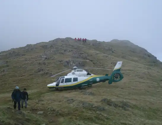
On Sunday, 5 April 2026 at 19:04, a Air Ambulance Helicopter departed from Penrith to Westward. It was the Air Ambulance Helicopter with registration number G-NHAE. The flight lasted 10 minutes. During that period, the aircraft travelled 19 miles at an average speed of 110 miles per hour at a maximum altitude of 1625 feet.
Helicopter: G-NHAE
The helicopter G-NHAE is used as a air ambulance helicopter. The main purpose of this aircraft is to transport a Mobile Medical Team to an incident as quickly as possible, enabling the trauma doctor to provide immediate first aid on site. The aircraft is flying this flight as Air Ambulance Helicopter.
Photo: Michael Earnshaw
20 miles
1625 feet
110 mph
11 minutes
19:04
19:15

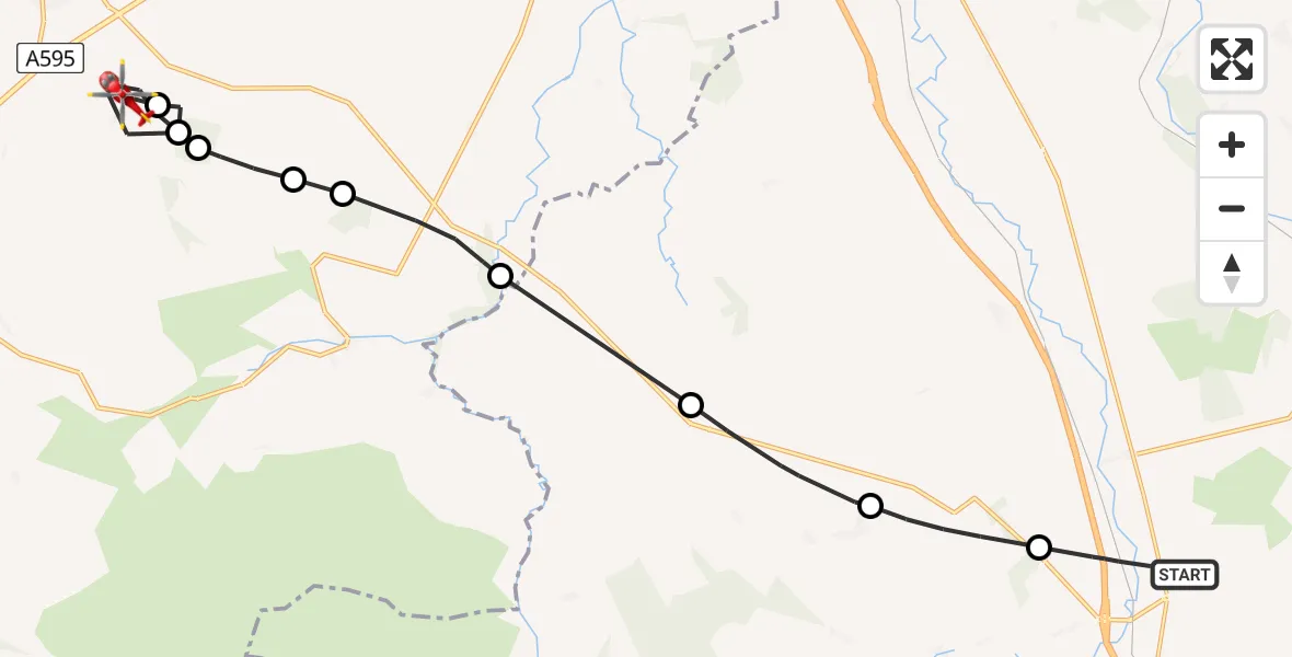
Route
Westward, Cumberland19:15
Westward, Cumberland19:14
Rosley, Cumberland19:13
Westward, Cumberland19:12
Rosley, Cumberland19:11
Westward, Cumberland19:11
Sebergham, Cumberland19:10
Castle Sowerby, Westmorland and Furness19:08
Skelton, Westmorland and Furness19:07
Unthank, Westmorland and Furness19:06
Bowscar Road, Westmorland and Furness19:04
Live flights
Today
Flights Westward
Air Ambulance Helicopter to Westward5 Apr 19:15
Air Ambulance Helicopter to Westward5 Apr 19:04
Air Ambulance Helicopter to Westward14 Mar 15:33
Flights Penrith
Air Ambulance Helicopter to Penrith, A6867 Jun 11:35
Air Ambulance Helicopter to Irish Sea5 Jun 15:10
Air Ambulance Helicopter to Penrith, B528823 May 17:04
Air Ambulance Helicopter to Penrith, Langwathby19 May 11:53
Helicopter flights on your website?
You can easily display helicopter flights on your own website. Use the embed code.
