Air Ambulance Helicopter to Westward
Saturday, 14 March 2026 | 15:33 | From Braithwaite
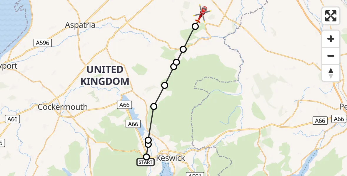
On Saturday, 14 March 2026 at 15:33, a Air Ambulance Helicopter departed from Braithwaite to Westward. It was the Air Ambulance Helicopter with registration number G-NWAA. The flight lasted 5 minutes. During that period, the aircraft travelled 13 miles at an average speed of 163 miles per hour at a maximum altitude of 3200 feet.
Helicopter: G-NWAA
The helicopter G-NWAA is used as a air ambulance helicopter. The main purpose of this aircraft is to transport a Mobile Medical Team to an incident as quickly as possible, enabling the trauma doctor to provide immediate first aid on site. The aircraft is flying this flight as Air Ambulance Helicopter.
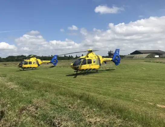
Photo: Legion23
14 miles
3200 feet
163 mph
5 minutes
15:33
15:38

Route
Westward, Westward15:38
Westward, Westward15:37
Caldbeck, Caldbeck15:37
Ireby and Uldale, Ireby and Uldale15:36
Uldale, Uldale15:36
Ireby and Uldale, Ireby and Uldale15:35
Bassenthwaite, Bassenthwaite15:35
Thornthwaite, Thornthwaite15:34
Braithwaite, Braithwaite15:33
Keswick, Keswick15:33
Newlands Hause, Braithwaite15:33
Live flights
Today
Police Helicopter to Ewelme20:13:43
Flights Westward
Air Ambulance Helicopter to Westward5 Apr 19:15
Air Ambulance Helicopter to Westward5 Apr 19:04
Air Ambulance Helicopter to Westward14 Mar 15:33
Flights Braithwaite
Air Ambulance Helicopter to Westward14 Mar 15:33
Helicopter flights on your website?
You can easily display helicopter flights on your own website. Use the embed code.
