Police Helicopter to Sawbridgeworth, Oak Walk
Thursday, 2 April 2026 | 11:16 | From South Nutfield

On Thursday, 2 April 2026 at 11:16, a Police Helicopter departed from South Nutfield to Sawbridgeworth. It was the Police Helicopter with registration number G-POLH. The flight lasted 48 minutes. During that period, the aircraft travelled 76 miles at an average speed of 95 miles per hour at a maximum altitude of 1100 feet.
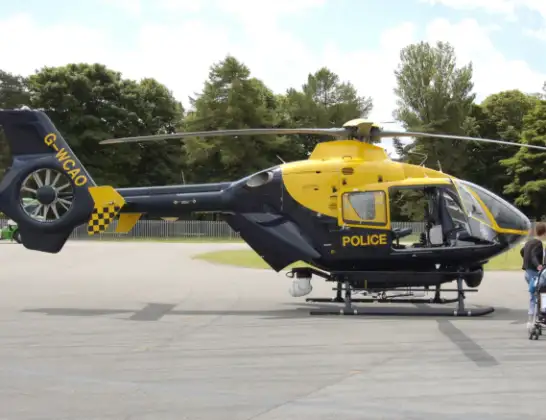
Helicopter: G-POLH
The helicopter G-POLH is used by the British police. The helicopter is deployed in pursuits, missing persons cases and other incidents where a helicopter provides added value.
Photo: Arpingstone
76 miles
1100 feet
95 mph
48 minutes
11:16
12:03

Route
Oak Walk, Hertfordshire12:03
Sawbridgeworth, Hertfordshire11:58
High Wych, Hertfordshire11:52
Harlow, Essex11:52
High Wych, Hertfordshire11:51
Harlow, Essex11:51
High Wych, Hertfordshire11:50
Harlow, Essex11:46
Latton Bush, Essex11:45
Harlow, Essex11:45
Epping Green, Essex11:44
Bumble's Green, Essex11:44
Epping Forest, Essex11:30
Sewardstonebury, Essex11:29
Greater London, Hartlepool11:27
Walthamstow, Hartlepool11:27
Greater London, Hartlepool11:18
Coulsdon, Hartlepool11:18
Hooley, Surrey11:17
Netherne-on-the-Hill, Surrey11:16
Merstham, Surrey11:16
Nutfield, Surrey11:16
Nutfield Priory, Surrey11:16
Live flights
Today
Flights Sawbridgeworth
Police Helicopter to North Weald Airfield21 Jun 14:45
Air Ambulance Helicopter to Sawbridgeworth4 Apr 15:26
Police Helicopter to Tandridge, Moats Lane2 Apr 12:04
Air Ambulance Helicopter to North Weald Airfield12 Jan 15:01
Helicopter flights on your website?
You can easily display helicopter flights on your own website. Use the embed code.
