Air Ambulance Helicopter to Sawbridgeworth, Harlow Road
Monday, 12 January 2026 | 13:35 | From Bishop's Stortford
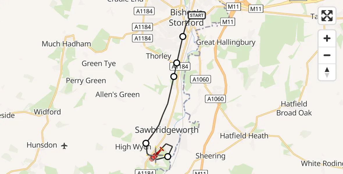
On Monday, 12 January 2026 at 13:35, a Air Ambulance Helicopter departed from Bishop's Stortford to Sawbridgeworth. It was the Air Ambulance Helicopter with registration number G-EHAT. The flight lasted 9 minutes. During that period, the aircraft travelled 7 miles at an average speed of 43 miles per hour at a maximum altitude of 1175 feet.
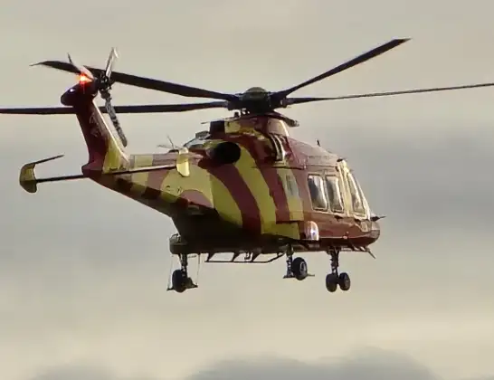
Helicopter: G-EHAT
The helicopter G-EHAT is used as a air ambulance helicopter. The main purpose of this aircraft is to transport a Mobile Medical Team to an incident as quickly as possible, enabling the trauma doctor to provide immediate first aid on site. The aircraft is flying this flight as Air Ambulance Helicopter.
Photo: By Steve Knight
7 miles
1175 feet
43 mph
10 minutes
13:35
13:44

Route
Harlow Road, East Hertfordshire13:44
Sawbridgeworth, East Hertfordshire13:42
High Wych, East Hertfordshire13:42
Sawbridgeworth, East Hertfordshire13:40
Thorley, East Hertfordshire13:40
Thorley, Bishop's Stortford13:39
Wilton Close, East Hertfordshire13:38
Bishop's Stortford, East Hertfordshire13:35
Live flights
Air Ambulance Helicopter on its way from Devizes14 Jul 22:59
Police Helicopter on its way from Thames View14 Jul 22:44
Police Helicopter on its way from Brandy Carr14 Jul 22:00
Today
Air Ambulance Helicopter to Cardiff Heliport14 Jul 22:43
Coastguard Helicopter to North Sea14 Jul 22:40
Air Ambulance Helicopter to North Sea14 Jul 22:27
Air Ambulance Helicopter to Priory Farm Airstrip14 Jul 22:16
Air Ambulance Helicopter to Papworth Hospital14 Jul 22:02
Air Ambulance Helicopter to Redhill Aerodrome14 Jul 21:58
Coastguard Helicopter to North Sea14 Jul 21:56
Flights Sawbridgeworth
Police Helicopter to North Weald Airfield21 Jun 14:45
Air Ambulance Helicopter to Sawbridgeworth4 Apr 15:26
Police Helicopter to Tandridge, Moats Lane2 Apr 12:04
Air Ambulance Helicopter to North Weald Airfield12 Jan 15:01
Helicopter flights on your website?
You can easily display helicopter flights on your own website. Use the embed code.
