Air Ambulance Helicopter to Coventry Airport
Monday, 30 March 2026 | 13:22 | From Byfield
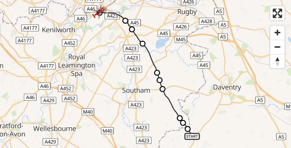
On Monday, 30 March 2026 at 13:22, a Air Ambulance Helicopter departed from Byfield to Coventry Airport. It was the Air Ambulance Helicopter with registration number G-WNAS. The flight lasted 9 minutes. During that period, the aircraft travelled 17 miles at an average speed of 121 miles per hour at a maximum altitude of 1050 feet.
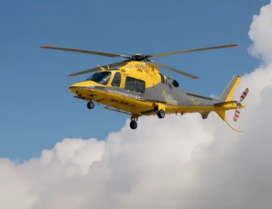
Helicopter: G-WNAS
The helicopter G-WNAS is used as an ambulance helicopter. The helicopter is equipped with a stretcher for transporting patients. The helicopter is often used to transport to hospitals.
Photo: Tony Melony
18 miles
1050 feet
121 mph
9 minutes
13:22
13:31

Route
Coventry Airport, Coventry, West Midlands13:31
Coventry Airport, Coventry, West Midlands13:30
Ryton-on-Dunsmore, Warwickshire13:29
Stretton on Dunsmore CP, Warwickshire13:28
Frankton CP, Warwickshire13:27
Leamington Hastings CP, Warwickshire13:25
Tomlow Farm Airstrip13:25
Napton on the Hill, Warwickshire13:25
Priors Marston, Warwickshire13:23
Hellidon, West Northamptonshire13:23
Priors Marston, West Northamptonshire13:22
EF11, West Northamptonshire13:22
Live flights
Today
Flights Byfield
Air Ambulance Helicopter to Coventry Airport30 Mar 13:22
Air Ambulance Helicopter to Byfield, Bell Lane30 Mar 12:43
Helicopter flights on your website?
You can easily display helicopter flights on your own website. Use the embed code.
