Air Ambulance Helicopter to Norton, Church Field Road
Sunday, 29 March 2026 | 13:24 | From YAA Nostell Helicopter Port
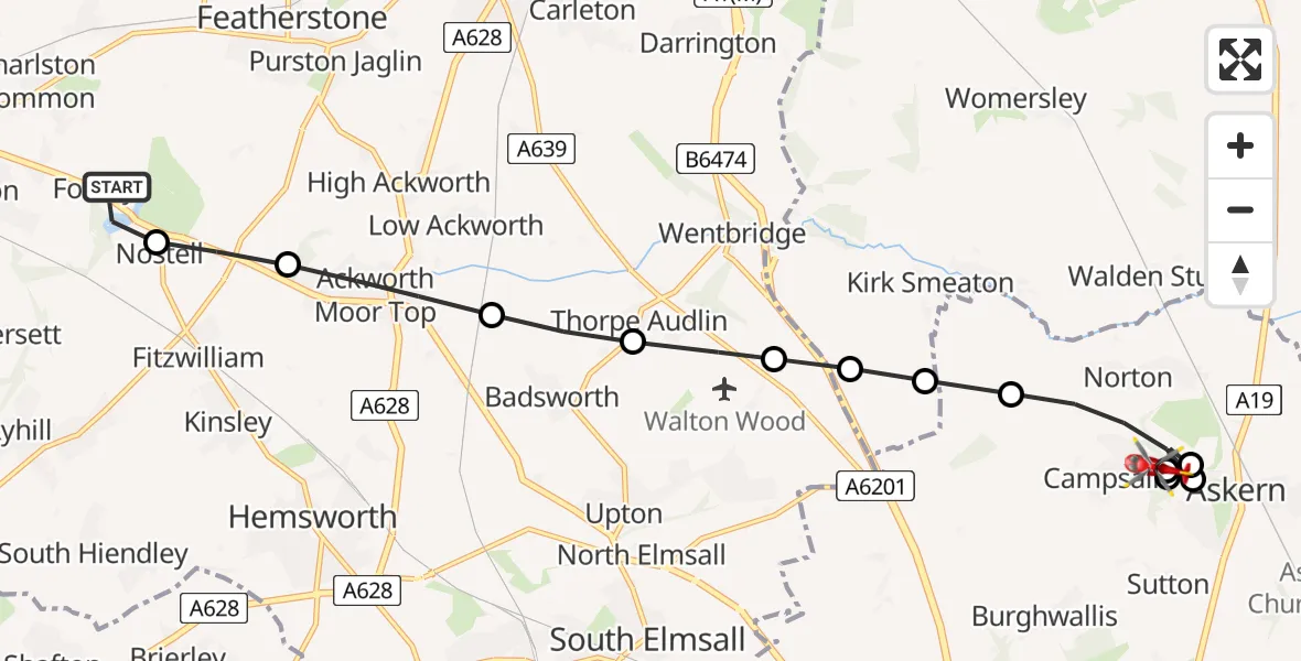
On Sunday, 29 March 2026 at 13:24, a Air Ambulance Helicopter departed from YAA Nostell Helicopter Port to Norton. It was the Air Ambulance Helicopter with registration number G-YORX. The flight lasted 7 minutes. During that period, the aircraft travelled 11 miles at an average speed of 106 miles per hour at a maximum altitude of 1075 feet.
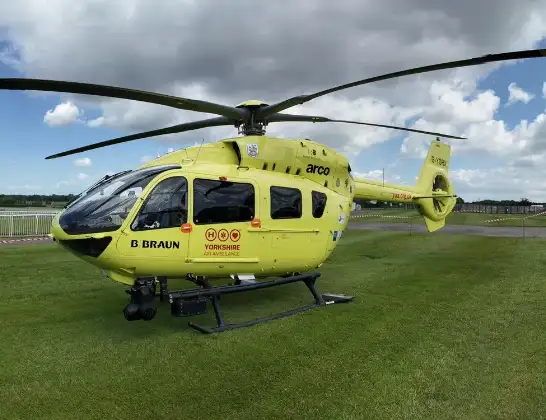
Helicopter: G-YORX
The helicopter G-YORX is used as a air ambulance helicopter. The main purpose of this aircraft is to transport a Mobile Medical Team to an incident as quickly as possible, enabling the trauma doctor to provide immediate first aid on site. The aircraft is flying this flight as Air Ambulance Helicopter.
Photo: Arollin96227
12 miles
1075 feet
106 mph
7 minutes
13:24
13:30

Route
Church Field Road, Hartlepool13:30
Norton, Hartlepool13:30
Campsall, Hartlepool13:30
Norton, Hartlepool13:29
Campsall, Hartlepool13:29
Norton, Hartlepool13:28
Norton, North Yorkshire13:28
Kirk Smeaton, North Yorkshire13:27
Wentbridge, Hartlepool13:27
Thorpe Audlin, Hartlepool13:27
Badsworth, Hartlepool13:26
Ackworth Moor Top, Hartlepool13:25
Wragby, Hartlepool13:25
YAA Nostell Helicopter Port, Foulby, Nostell, Yorkshire13:24
Live flights
Today
Flights Norton
Police Helicopter to Bournemouth Airport11 May 15:31
Air Ambulance Helicopter to Norton, Beech Road11 Apr 09:51
Air Ambulance Helicopter to Norton, Pascal Way26 Jan 09:57
Helicopter flights on your website?
You can easily display helicopter flights on your own website. Use the embed code.
