Air Ambulance Helicopter to Hinxhill, Kennington Road
Saturday, 28 March 2026 | 21:49 | From Udimore
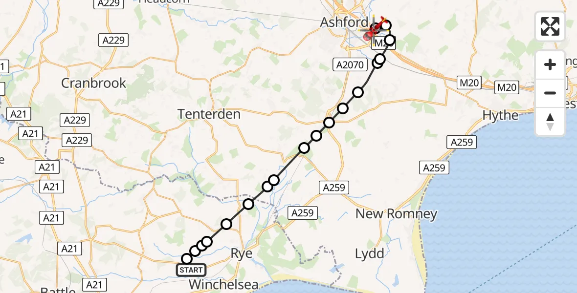
On Saturday, 28 March 2026 at 21:49, a Air Ambulance Helicopter departed from Udimore to Hinxhill. It was the Air Ambulance Helicopter with registration number G-KSSC. The flight lasted 17 minutes. During that period, the aircraft travelled 20 miles at an average speed of 71 miles per hour at a maximum altitude of 775 feet.
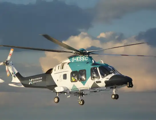
Helicopter: G-KSSC
The helicopter G-KSSC is used as a air ambulance helicopter. The main purpose of this aircraft is to transport a Mobile Medical Team to an incident as quickly as possible, enabling the trauma doctor to provide immediate first aid on site. The aircraft is flying this flight as Air Ambulance Helicopter.
Photo: Shona aakss
21 miles
775 feet
71 mph
18 minutes
21:49
22:06

Route
Kennington Road, Kent22:06
Hinxhill, Kent22:06
Sevington, Kent22:05
Hinxhill, Kent22:04
Mersham, Kent22:03
Aldington Frith, Kent22:03
Stone Cross, Kent22:01
Ruckinge, Kent22:01
Hamstreet, Kent22:00
Warehorne, Kent22:00
Ashford, Kent21:59
Appledore, Kent21:58
Stone in Oxney, Kent21:58
Rother, East Sussex21:57
Iden, East Sussex21:56
Peasmarsh, East Sussex21:55
Rother, East Sussex21:55
Peasmarsh, East Sussex21:55
Rother, East Sussex21:55
Rother, East Sussex21:55
Udimore, East Sussex21:49
Today
Flights Hinxhill
Flights Udimore
Air Ambulance Helicopter to Udimore28 Mar 20:45
Helicopter flights on your website?
You can easily display helicopter flights on your own website. Use the embed code.
