Air Ambulance Helicopter to Hinxhill, Kennington Road
Saturday, 28 March 2026 | 18:21 | From Burham
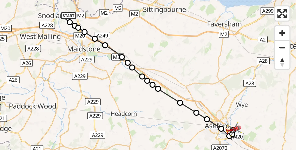
On Saturday, 28 March 2026 at 18:21, a Air Ambulance Helicopter departed from Burham to Hinxhill. It was the Air Ambulance Helicopter with registration number G-LNAC. The flight lasted 15 minutes. During that period, the aircraft travelled 26 miles at an average speed of 104 miles per hour at a maximum altitude of 1175 feet.
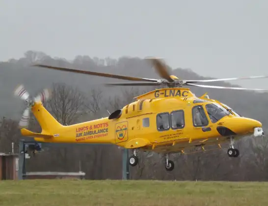
Helicopter: G-LNAC
The helicopter G-LNAC is used as a air ambulance helicopter. The main purpose of this aircraft is to transport a Mobile Medical Team to an incident as quickly as possible, enabling the trauma doctor to provide immediate first aid on site. The aircraft is flying this flight as Air Ambulance Helicopter.
Photo: James from Cheltenham, Gloucestershire
26 miles
1175 feet
104 mph
15 minutes
18:21
18:36

Route
Hinxhill, Kent18:36
Kennington Road, Kent18:36
Hinxhill, Kent18:36
Smeeth, Kent18:35
Sevington, Kent18:34
South Willesborough, Kent18:34
Ashford, Kent18:33
Hothfield, Kent18:33
Little Chart, Kent18:32
Egerton, Kent18:31
Boughton Malherbe, Kent18:31
Grafty Green, Kent18:30
Maidstone, Kent18:30
Harrietsham, Kent18:30
Maidstone, Kent18:29
Hollingbourne, Kent18:29
Maidstone, Kent18:28
Detling, Kent18:28
Boxley, Kent18:27
Tonbridge and Malling, Kent18:27
Aylesford, Kent18:27
Eccles, Kent18:27
Burham, Kent18:26
Burham, Kent18:21
Today
Flights Hinxhill
Flights Burham
Air Ambulance Helicopter to Burham28 Mar 17:23
Air Ambulance Helicopter to Burham, Bell Lane28 Mar 17:08
Helicopter flights on your website?
You can easily display helicopter flights on your own website. Use the embed code.
