Air Ambulance Helicopter to Glastonbury, Silver Street
Saturday, 28 March 2026 | 11:21 | From Henstridge Airfield
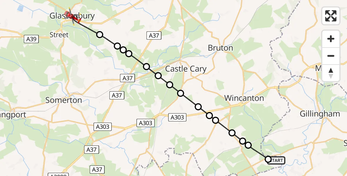
On Saturday, 28 March 2026 at 11:21, a Air Ambulance Helicopter departed from Henstridge Airfield to Glastonbury. It was the Air Ambulance Helicopter with registration number G-DSAA. The flight lasted 13 minutes. During that period, the aircraft travelled 21 miles at an average speed of 96 miles per hour at a maximum altitude of 625 feet.
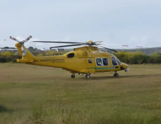
Helicopter: G-DSAA
The helicopter G-DSAA is used as a air ambulance helicopter. The main purpose of this aircraft is to transport a Mobile Medical Team to an incident as quickly as possible, enabling the trauma doctor to provide immediate first aid on site. The aircraft is flying this flight as Air Ambulance Helicopter.
Photo: Andrew Bone
21 miles
625 feet
96 mph
13 minutes
11:21
11:34

Route
Silver Street, Somerset11:34
Glastonbury, Somerset11:32
Baltonsborough, Somerset11:31
Back Lane, Somerset11:31
Baltonsborough, Somerset11:31
Hornblotton Green, Somerset11:30
Alford, Somerset11:30
North Barrow, Somerset11:29
Galhampton, Somerset11:29
Woolston, Somerset11:28
Blackford, Somerset11:27
Holton, Somerset11:27
South Cheriton, Somerset11:26
Abbas Combe, Somerset11:26
Templecombe, Somerset11:26
Shaftesbury Road, Somerset11:25
Henstridge, Somerset11:24
Henstridge Airfield, Templecombe, Somerset11:21
Live flights
Today
Flights Glastonbury
Air Ambulance Helicopter to Glastonbury18 Apr 00:07
Air Ambulance Helicopter to Henstridge Airfield28 Mar 13:24
Air Ambulance Helicopter to Glastonbury28 Mar 11:34
Helicopter flights on your website?
You can easily display helicopter flights on your own website. Use the embed code.
