Air Ambulance Helicopter to Dunstable, Tithe Farm Road
Wednesday, 25 March 2026 | 15:35 | From North Weald Airfield
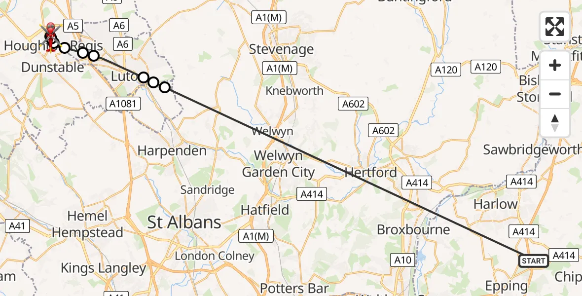
On Wednesday, 25 March 2026 at 15:35, a Air Ambulance Helicopter departed from North Weald Airfield to Dunstable. It was the Air Ambulance Helicopter with registration number G-HHEM. The flight lasted 25 minutes. During that period, the aircraft travelled 33 miles at an average speed of 81 miles per hour at a maximum altitude of 1400 feet.
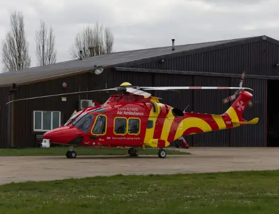
Helicopter: G-HHEM
The helicopter G-HHEM is used as a air ambulance helicopter. The main purpose of this aircraft is to transport a Mobile Medical Team to an incident as quickly as possible, enabling the trauma doctor to provide immediate first aid on site. The aircraft is flying this flight as Air Ambulance Helicopter.
Photo: Ronnie Macdonald
34 miles
1400 feet
81 mph
25 minutes
15:35
16:00

Route
Dunstable, Dunstable16:00
Tithe Farm Road, Dunstable15:59
Tithe Farm Road, Dunstable15:58
Dunstable, Dunstable15:57
Houghton Regis, Houghton Regis15:56
Dunstable, Dunstable15:55
Houghton Regis, Houghton Regis15:54
Lewsey Farm, Lewsey Farm15:53
Leagrave, Leagrave15:53
Luton, Luton15:51
London Luton Airport, Luton, Bedfordshire15:51
Copt Hall Road, Hyde15:50
North Weald Airfield, Epping, Essex15:35
Live flights
Today
Flights Dunstable
Air Ambulance Helicopter to Papworth Hospital28 Jun 18:16
Police Helicopter to Dunstable, Whipsnade Road15 Apr 14:45
Police Helicopter to Dunstable, Knotts Close15 Apr 13:44
Air Ambulance Helicopter to North Weald Airfield25 Mar 16:33
Police Helicopter to Welwyn Hatfield12 Jan 12:13
Helicopter flights on your website?
You can easily display helicopter flights on your own website. Use the embed code.
