Air Ambulance Helicopter to Street, Hindhayes Lane
Tuesday, 24 March 2026 | 11:56 | From Henstridge Airfield
On Tuesday, 24 March 2026 at 11:56, a Air Ambulance Helicopter departed from Henstridge Airfield to Street. It was the Air Ambulance Helicopter with registration number G-DSAA. The flight lasted 12 minutes. During that period, the aircraft travelled 21 miles at an average speed of 107 miles per hour at a maximum altitude of 950 feet.
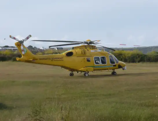
Helicopter: G-DSAA
The helicopter G-DSAA is used as a air ambulance helicopter. The main purpose of this aircraft is to transport a Mobile Medical Team to an incident as quickly as possible, enabling the trauma doctor to provide immediate first aid on site. The aircraft is flying this flight as Air Ambulance Helicopter.
Photo: Andrew Bone
21 miles
950 feet
107 mph
12 minutes
11:56
12:08

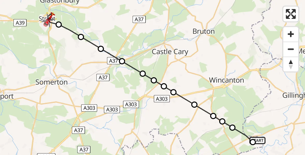
Route
Hindhayes Lane, Street12:08
Street, Street12:05
Butleigh, Butleigh12:04
Barton St. David, Barton St. David12:04
Lydford-on-Fosse, Lydford-on-Fosse12:03
North Barrow, North Barrow12:02
North Cadbury, North Cadbury12:02
Galhampton, Galhampton12:01
Woolston, Woolston12:01
Blackford, Blackford12:00
South Cheriton, South Cheriton11:59
Abbas Combe, Abbas Combe11:59
Templecombe, Templecombe11:58
Henstridge, Henstridge11:57
Henstridge Airfield, Templecombe, Somerset11:57
Henstridge Airfield, Templecombe, Somerset11:56
Live flights
Today
Flights Street
Air Ambulance Helicopter to Musgrove Hospital14 May 13:09
Air Ambulance Helicopter to Street, Middle Leigh14 May 11:43
Air Ambulance Helicopter to Highworth23 Feb 11:29
Helicopter flights on your website?
You can easily display helicopter flights on your own website. Use the embed code.
