Air Ambulance Helicopter to South Moreton, Hithercroft Road
Sunday, 22 March 2026 | 7:50 | From Stewkley
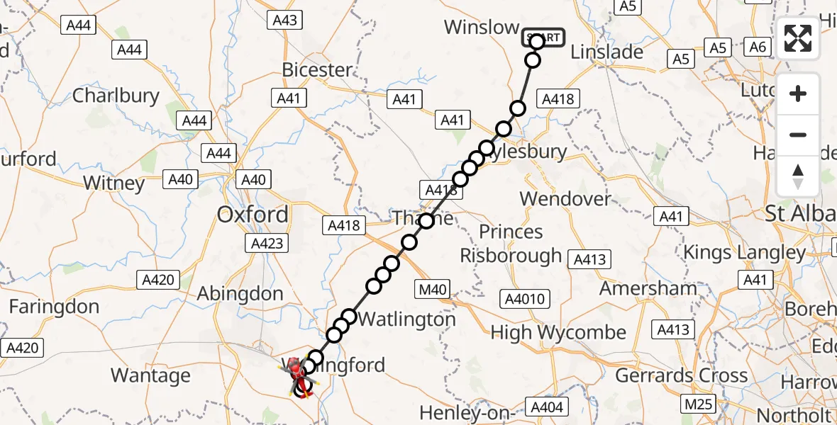
On Sunday, 22 March 2026 at 7:50, a Air Ambulance Helicopter departed from Stewkley to South Moreton. It was the Air Ambulance Helicopter with registration number G-TVLY. The flight lasted 15 minutes. During that period, the aircraft travelled 32 miles at an average speed of 132 miles per hour at a maximum altitude of 1650 feet.
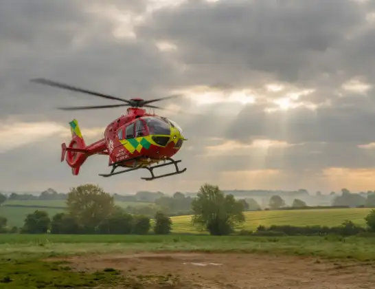
Helicopter: G-TVLY
The helicopter G-TVLY is used as a air ambulance helicopter. The main purpose of this aircraft is to transport a Mobile Medical Team to an incident as quickly as possible, enabling the trauma doctor to provide immediate first aid on site. The aircraft is flying this flight as Air Ambulance Helicopter.
Photo: Tony Melony
33 miles
1650 feet
132 mph
15 minutes
07:50
08:04

Route
Hithercroft Road, South Oxfordshire08:04
Cholsey, South Oxfordshire08:04
South Oxfordshire, South Oxfordshire08:03
South Moreton, South Oxfordshire08:03
Cholsey, South Oxfordshire08:02
Brightwell-cum-Sotwell, South Oxfordshire08:02
Shillingford, South Oxfordshire08:01
Berrick Salome, South Oxfordshire08:01
Newington, South Oxfordshire08:00
Chalgrove, South Oxfordshire07:59
South Oxfordshire, South Oxfordshire07:59
Great Haseley, South Oxfordshire07:58
Tetsworth, South Oxfordshire07:58
Thame, South Oxfordshire07:57
Haddenham, Haddenham07:55
Dinton, Dinton07:55
Stone, Stone07:55
Waddesdon, Waddesdon07:54
Berryfields, Berryfields07:54
Weedon, Weedon07:53
Creslow, Creslow07:51
Dunton, Dunton07:51
Dean Road, Stewkley07:50
Live flights
Today
Flights Stewkley
Air Ambulance Helicopter to Stewkley, Dean Road22 Mar 07:29
Helicopter flights on your website?
You can easily display helicopter flights on your own website. Use the embed code.
