Air Ambulance Helicopter to Stewkley, Dean Road
Sunday, 22 March 2026 | 7:29 | From RAF Benson
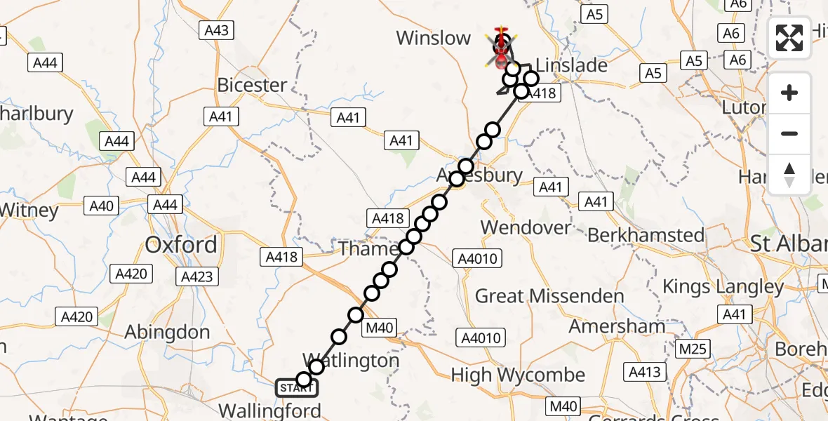
On Sunday, 22 March 2026 at 7:29, a Air Ambulance Helicopter departed from RAF Benson to Stewkley. It was the Air Ambulance Helicopter with registration number G-TVLY. The flight lasted 18 minutes. During that period, the aircraft travelled 36 miles at an average speed of 119 miles per hour at a maximum altitude of 1625 feet.
Helicopter: G-TVLY
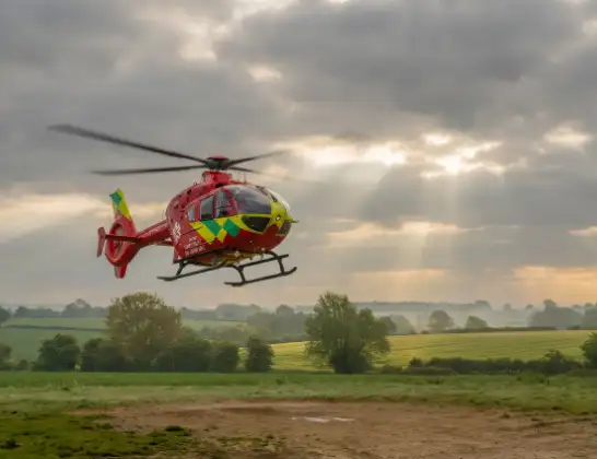
The helicopter G-TVLY is used as a air ambulance helicopter. The main purpose of this aircraft is to transport a Mobile Medical Team to an incident as quickly as possible, enabling the trauma doctor to provide immediate first aid on site. The aircraft is flying this flight as Air Ambulance Helicopter.
Photo: Tony Melony
37 miles
1625 feet
119 mph
19 minutes
07:29
07:47

Route
Stewkley, Stewkley07:47
Dean Road, Stewkley07:47
Mursley, Mursley07:45
Stewkley, Stewkley07:43
Cublington, Cublington07:41
Stewkley, Stewkley07:40
Cublington, Cublington07:39
Aston Abbotts, Aston Abbotts07:38
Weedon, Weedon07:37
Aylesbury, Aylesbury07:37
Fairford Leys, Fairford Leys07:36
Stone, Stone07:35
Haddenham, Haddenham07:35
Dinton-with-Ford and Upton, Dinton-with-Ford and Upton07:35
Haddenham, Haddenham07:34
Kingsey, Kingsey07:34
Towersey, South Oxfordshire07:33
Sydenham, South Oxfordshire07:33
Aston Rowant, South Oxfordshire07:32
Postcombe, South Oxfordshire07:32
South Oxfordshire, South Oxfordshire07:31
Cuxham, South Oxfordshire07:30
Ewelme, South Oxfordshire07:29
RAF Benson, Wallingford, Oxfordshire07:29
Today
Flights Stewkley
Air Ambulance Helicopter to Stewkley, Dean Road22 Mar 07:29
Helicopter flights on your website?
You can easily display helicopter flights on your own website. Use the embed code.
