Air Ambulance Helicopter to Clydebank, Beardmore Street
Friday, 20 March 2026 | 20:52 | From Brodick
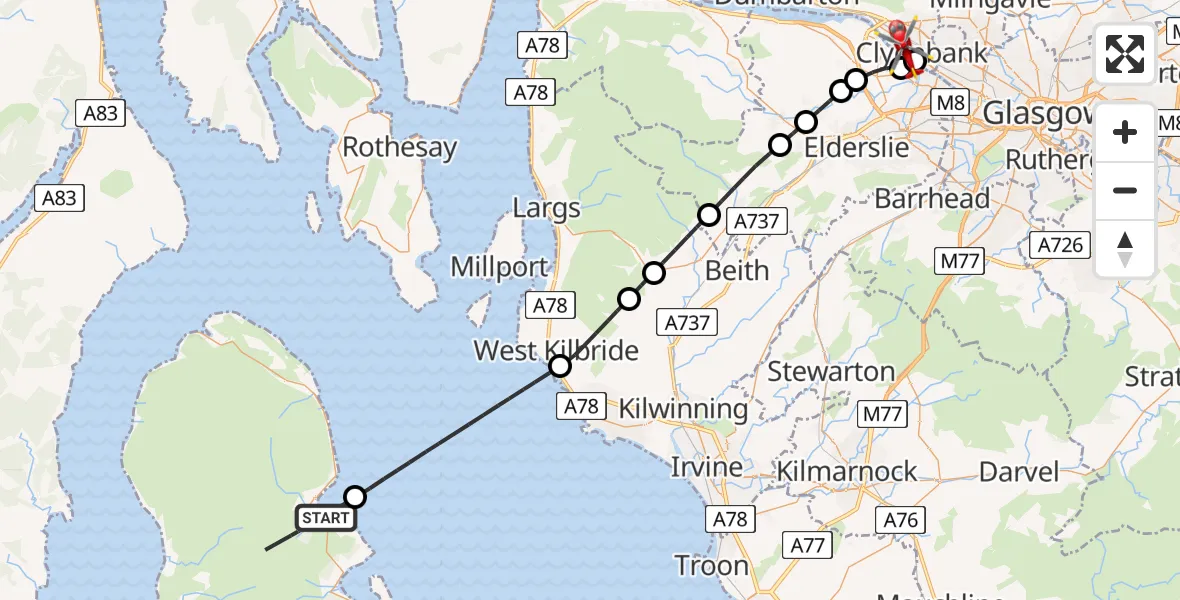
On Friday, 20 March 2026 at 20:52, a Air Ambulance Helicopter departed from Brodick to Clydebank. It was the Air Ambulance Helicopter with registration number G-ISAS. The flight lasted 17 minutes. During that period, the aircraft travelled 41 miles at an average speed of 143 miles per hour at a maximum altitude of 2575 feet.
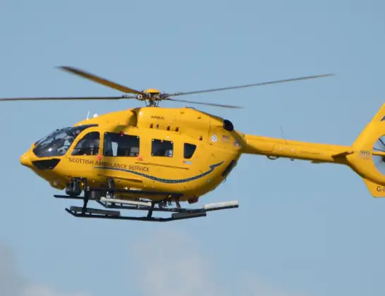
Helicopter: G-ISAS
The helicopter G-ISAS is used as a air ambulance helicopter. The main purpose of this aircraft is to transport a Mobile Medical Team to an incident as quickly as possible, enabling the trauma doctor to provide immediate first aid on site. The aircraft is flying this flight as Air Ambulance Helicopter.
Photo: Jonathan Payne
41 miles
2575 feet
143 mph
18 minutes
20:52
21:10

Route
Beardmore Street, Clydebank21:10
Clydebank, Clydebank21:08
Inchinnan, Inchinnan21:08
Erskine, Erskine21:07
Linwood, Linwood21:06
Crosslee, Crosslee21:06
Kilbarchan, Kilbarchan21:05
Lochwinnoch, Lochwinnoch21:03
Kilbirnie, Kilbirnie21:02
Dalry, Dalry21:01
West Kilbride, West Kilbride20:59
Inner Seas20:54
Brodick, Brodick20:54
20:52
Live flights
Today
Police Helicopter to Hawarden Airport7 Jul 22:14
Coastguard Helicopter to Solent Airport7 Jul 22:09
Police Aircraft to London Oxford Airport7 Jul 21:58
Police Helicopter to Bournemouth Airport7 Jul 21:48
Police Helicopter to Harborough, Sulby Road7 Jul 21:46
Flights Clydebank
Police Helicopter to Clydebank, Glasgow Road24 May 09:57
Police Helicopter to Clydebank, Portsoy Avenue25 Apr 17:25
Flights Brodick
Coastguard Helicopter to Brodick, A84129 Jun 14:22
Coastguard Helicopter to Inner Seas15 Jun 16:30
Coastguard Helicopter to Brodick, The String15 Jun 15:45
Coastguard Helicopter to Brodick, The String12 Jun 09:32
Coastguard Helicopter to Brodick, A84125 Apr 08:51
Coastguard Helicopter to Brodick, A84125 Apr 08:31
Helicopter flights on your website?
You can easily display helicopter flights on your own website. Use the embed code.
