Air Ambulance Helicopter to Clydebank, Caledonia Street
Tuesday, 17 March 2026 | 13:04 | From Inner Seas
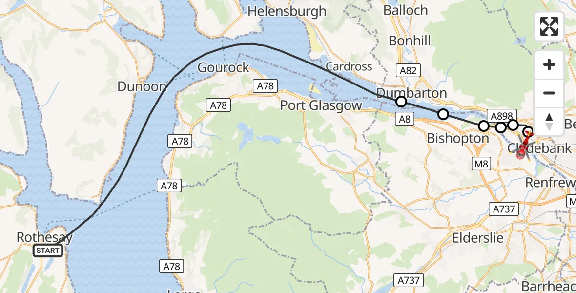
On Tuesday, 17 March 2026 at 13:04, a Air Ambulance Helicopter departed from Inner Seas to Clydebank. It was the Air Ambulance Helicopter with registration number G-ISAS. The flight lasted 15 minutes. During that period, the aircraft travelled 31 miles at an average speed of 126 miles per hour at a maximum altitude of 1475 feet.
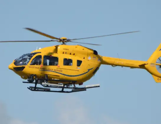
Helicopter: G-ISAS
The helicopter G-ISAS is used as a air ambulance helicopter. The main purpose of this aircraft is to transport a Mobile Medical Team to an incident as quickly as possible, enabling the trauma doctor to provide immediate first aid on site. The aircraft is flying this flight as Air Ambulance Helicopter.
Photo: Jonathan Payne
32 miles
1475 feet
126 mph
15 minutes
13:04
13:19

Route
Caledonia Street, Clydebank13:19
Clydebank, Clydebank13:18
Duntocher, Duntocher13:17
Old Kilpatrick, Old Kilpatrick13:17
Erskine, Erskine13:16
Bishopton, Bishopton13:15
Dumbarton, Dumbarton13:14
Inner Seas, 13:04
Live flights
Today
Police Helicopter to Hawarden Airport7 Jul 22:14
Coastguard Helicopter to Solent Airport7 Jul 22:09
Police Aircraft to London Oxford Airport7 Jul 21:58
Police Helicopter to Bournemouth Airport7 Jul 21:48
Police Helicopter to Harborough, Sulby Road7 Jul 21:46
Flights Clydebank
Police Helicopter to Clydebank, Glasgow Road24 May 09:57
Police Helicopter to Clydebank, Portsoy Avenue25 Apr 17:25
Helicopter flights on your website?
You can easily display helicopter flights on your own website. Use the embed code.
