Air Ambulance Helicopter to Daventry, Taper Way
Thursday, 19 March 2026 | 15:42 | From Coventry Airport
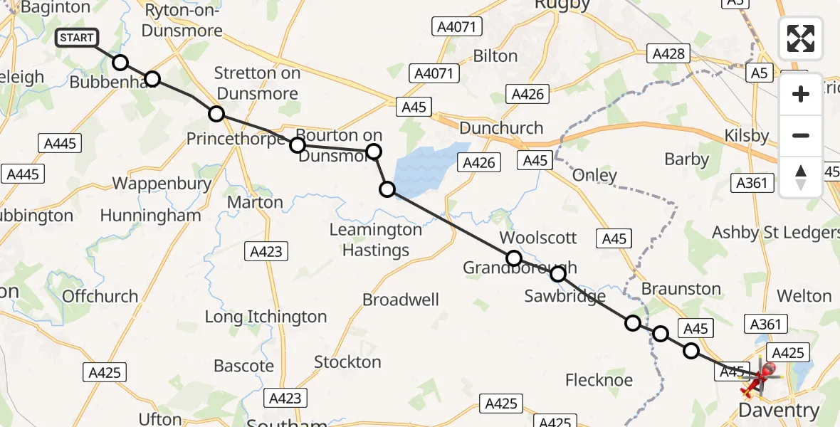
On Thursday, 19 March 2026 at 15:42, a Air Ambulance Helicopter departed from Coventry Airport to Daventry. It was the Air Ambulance Helicopter with registration number G-WNAS. The flight lasted 7 minutes. During that period, the aircraft travelled 16 miles at an average speed of 137 miles per hour at a maximum altitude of 750 feet.
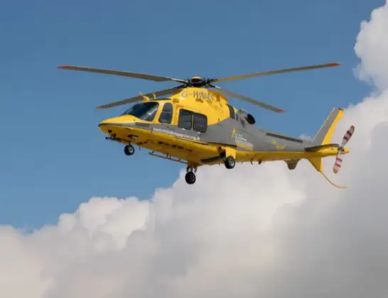
Helicopter: G-WNAS
The helicopter G-WNAS is used as an ambulance helicopter. The helicopter is equipped with a stretcher for transporting patients. The helicopter is often used to transport to hospitals.
Photo: Tony Melony
16 miles
750 feet
137 mph
7 minutes
15:42
15:49

Route
Taper Way, Daventry15:49
Daventry, Daventry15:47
Braunston, Braunston15:47
Flecknoe, Rugby15:47
Willoughby CP, Rugby15:46
Grandborough CP, Rugby15:46
Draycote, Rugby15:44
Bourton on Dunsmore, Rugby15:44
Frankton CP, Rugby15:44
Princethorpe CP, Rugby15:43
Rugby, Rugby15:42
Bubbenhall, Warwick15:42
Samaritan Way, Warwick15:42
Today
Flights Daventry
Air Ambulance Helicopter to Coventry Airport28 Mar 17:43
Air Ambulance Helicopter to Coventry Airport19 Mar 16:01
Air Ambulance Helicopter to Daventry, Taper Way19 Mar 15:42
Air Ambulance Helicopter to Coventry Airport13 Mar 13:22
Helicopter flights on your website?
You can easily display helicopter flights on your own website. Use the embed code.
