Air Ambulance Helicopter to Glenfyne, Inchinnan Drive
Wednesday, 18 March 2026 | 13:56 | From Inchinnan
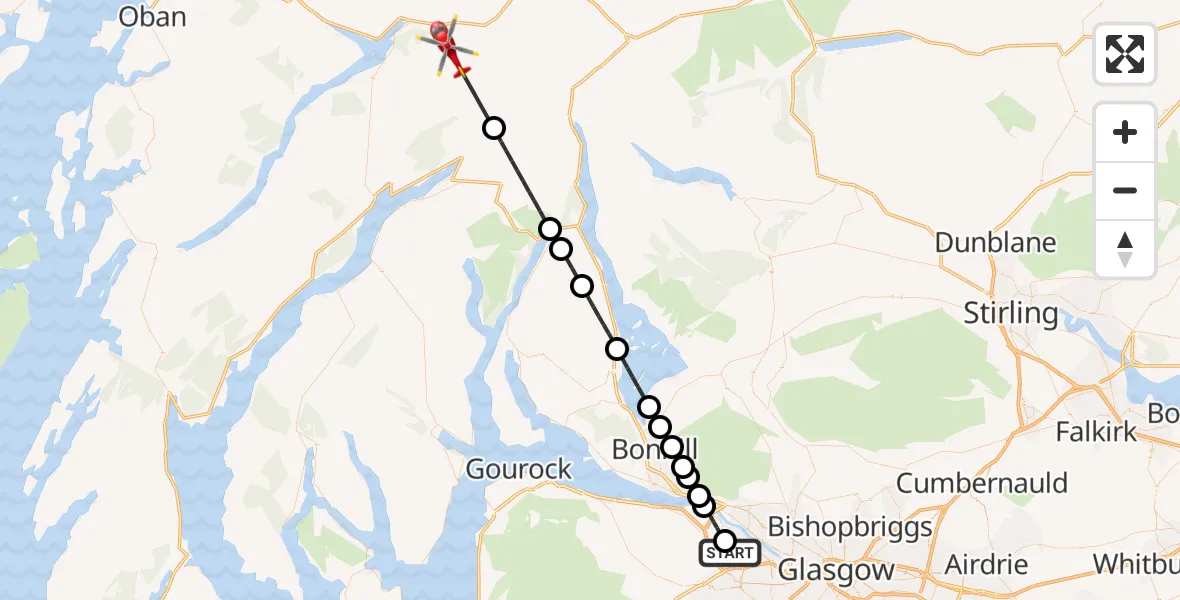
On Wednesday, 18 March 2026 at 13:56, a Air Ambulance Helicopter departed from Inchinnan to Glenfyne. It was the Air Ambulance Helicopter with registration number G-ISAS. The flight lasted 18 minutes. During that period, the aircraft travelled 39 miles at an average speed of 134 miles per hour at a maximum altitude of 3275 feet.
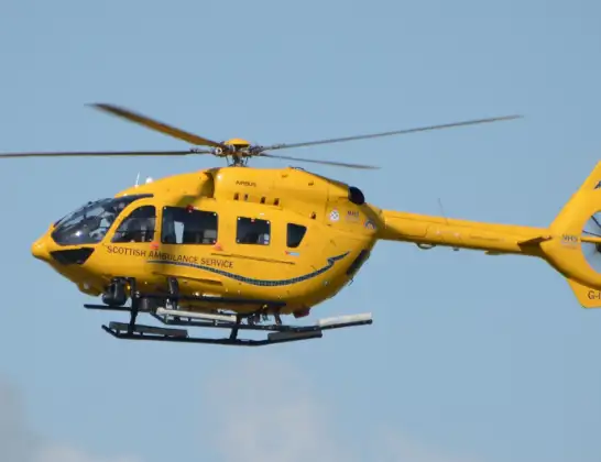
Helicopter: G-ISAS
The helicopter G-ISAS is used as a air ambulance helicopter. The main purpose of this aircraft is to transport a Mobile Medical Team to an incident as quickly as possible, enabling the trauma doctor to provide immediate first aid on site. The aircraft is flying this flight as Air Ambulance Helicopter.
Photo: Jonathan Payne
40 miles
3275 feet
134 mph
18 minutes
13:56
14:14

Route
14:14
Glenfyne, Glenfyne14:11
Succoth, Succoth14:08
Arrochar, Arrochar14:07
Invergroin, Invergroin14:06
Luss, Luss14:03
Loch Lomond14:01
Balloch, Balloch14:01
Bonhill, Bonhill14:00
Dumbarton, Dumbarton13:59
Milton, Milton13:59
Bowling, Bowling13:58
Bishopton, Bishopton13:58
Erskine, Erskine13:56
Inchinnan Drive, Inchinnan13:56
Live flights
Today
Flights Glenfyne
Flights Inchinnan
Police Helicopter to Langbank, Greenock Road2 Jul 23:00
Air Ambulance Helicopter to Strachur, A8156 May 19:51
Police Helicopter to Erskine, A72613 Jan 12:25
Helicopter flights on your website?
You can easily display helicopter flights on your own website. Use the embed code.
