Air Ambulance Helicopter to Camusvrachan, River Drive
Monday, 16 March 2026 | 21:29 | From Inchinnan
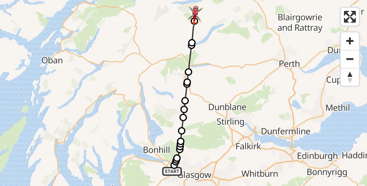
On Monday, 16 March 2026 at 21:29, a Air Ambulance Helicopter departed from Inchinnan to Camusvrachan. It was the Air Ambulance Helicopter with registration number G-ISAS. The flight lasted 20 minutes. During that period, the aircraft travelled 52 miles at an average speed of 159 miles per hour at a maximum altitude of 5475 feet.
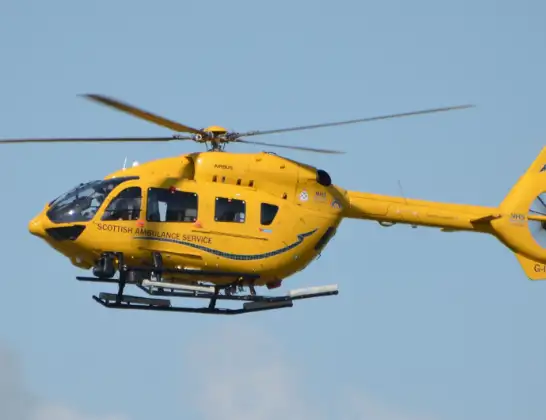
Helicopter: G-ISAS
The helicopter G-ISAS is used as a air ambulance helicopter. The main purpose of this aircraft is to transport a Mobile Medical Team to an incident as quickly as possible, enabling the trauma doctor to provide immediate first aid on site. The aircraft is flying this flight as Air Ambulance Helicopter.
Photo: Jonathan Payne
53 miles
5475 feet
159 mph
20 minutes
21:29
21:49

Route
21:49
Camusvrachan, Camusvrachan21:48
Morenish, Morenish21:46
Loch Tay21:45
Lochearnhead, Lochearnhead21:42
Strathyre, Strathyre21:41
Loch Lubnaig21:41
Invertrossachs, Invertrossachs21:39
Aberfoyle, Aberfoyle21:38
Gartmore, Gartmore21:37
Balfron, Balfron21:35
Killearn, Killearn21:34
Dumgoyne, Dumgoyne21:34
Glasgow, Glasgow21:33
Carbeth, Carbeth21:33
Clydebank, Clydebank21:32
Faifley, Faifley21:31
Hardgate, Hardgate21:31
Clydebank, Clydebank21:30
River Drive, Inchinnan21:29
Live flights
Today
Coastguard Helicopter to Solent Airport5 Jul 23:21
Air Ambulance Aircraft to RAF Lossiemouth5 Jul 23:17
Police Helicopter to Glasgow, Beech Avenue5 Jul 23:05
Police Aircraft to East Midlands Airport5 Jul 22:38
Air Ambulance Helicopter to North Sea5 Jul 22:14
Police Helicopter to Solihull, Centro Way5 Jul 22:09
Police Helicopter to Hawarden Airport5 Jul 21:47
Flights Camusvrachan
Flights Inchinnan
Police Helicopter to Langbank, Greenock Road2 Jul 23:00
Air Ambulance Helicopter to Strachur, A8156 May 19:51
Police Helicopter to Erskine, A72613 Jan 12:25
Helicopter flights on your website?
You can easily display helicopter flights on your own website. Use the embed code.
