Air Ambulance Helicopter to Croy, Cantray Road
Wednesday, 4 March 2026 | 23:53 | From Ballachrochin
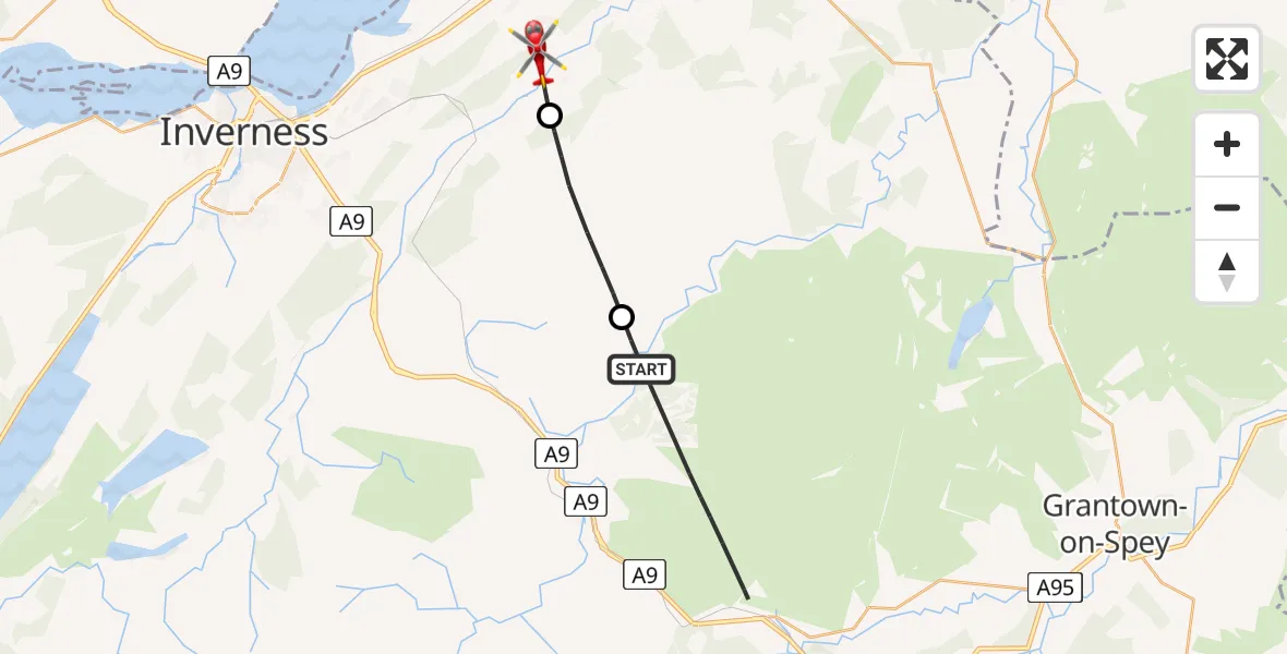
On Wednesday, 4 March 2026 at 23:53, a Air Ambulance Helicopter departed from Ballachrochin to Croy. It was the Air Ambulance Helicopter with registration number G-GSAS. The flight lasted 5 minutes. During that period, the aircraft travelled 15 miles at an average speed of 174 miles per hour at a maximum altitude of 2825 feet.
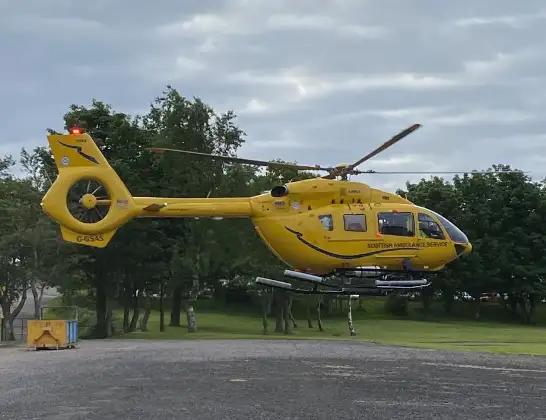
Helicopter: G-GSAS
The helicopter G-GSAS is used as a air ambulance helicopter. The main purpose of this aircraft is to transport a Mobile Medical Team to an incident as quickly as possible, enabling the trauma doctor to provide immediate first aid on site. The aircraft is flying this flight as Air Ambulance Helicopter.
Photo: Scanbus
16 miles
2825 feet
174 mph
6 minutes
23:53
23:59

Route
Cantray Road, 23:59
Croy23:58
Shenachie23:56
Ballachrochin23:56
23:53
Live flights
Today
Flights Croy
Air Ambulance Helicopter to RAF Lossiemouth9 Jun 14:17
Air Ambulance Helicopter to Croy26 Apr 19:46
Air Ambulance Helicopter to Croy, A9628 Mar 19:13
Air Ambulance Helicopter to Croy4 Mar 23:58
Air Ambulance Helicopter to Croy4 Mar 23:58
Air Ambulance Helicopter to Croy4 Mar 23:58
Air Ambulance Helicopter to Croy4 Mar 23:58
Air Ambulance Helicopter to Croy4 Mar 23:58
Air Ambulance Helicopter to Croy4 Mar 23:58
Flights Ballachrochin
Air Ambulance Helicopter to Ballachrochin27 Feb 15:19
Air Ambulance Helicopter to Carrbridge, A93817 Jan 13:44
Helicopter flights on your website?
You can easily display helicopter flights on your own website. Use the embed code.
