Air Ambulance Helicopter to Diss, Church Road
Sunday, 1 March 2026 | 12:00 | From Tivetshall St Mary
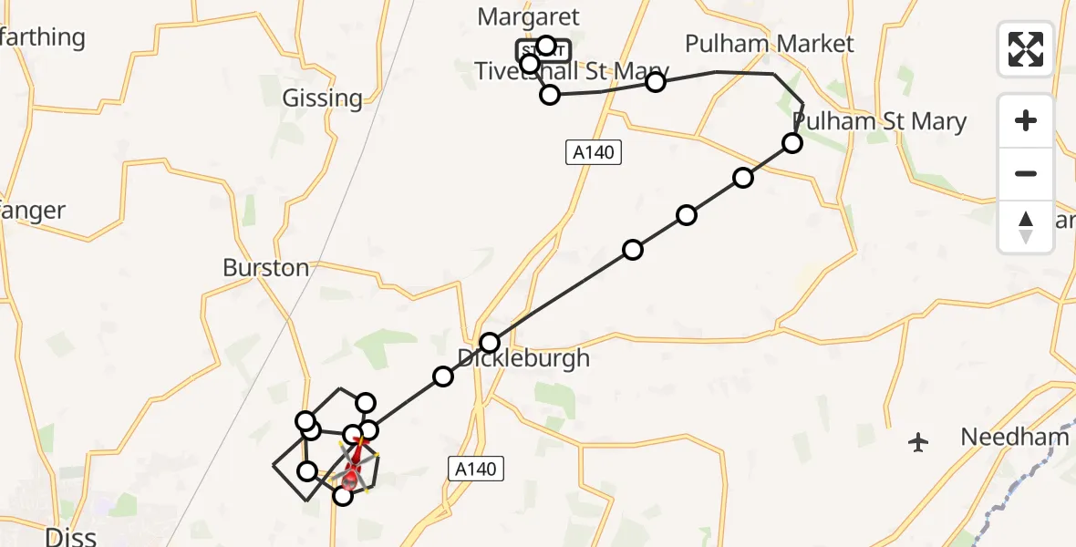
On Sunday, 1 March 2026 at 12:00, a Air Ambulance Helicopter departed from Tivetshall St Mary to Diss. It was the Air Ambulance Helicopter with registration number G-HEMC. The flight lasted 9 minutes. During that period, the aircraft travelled 11 miles at an average speed of 71 miles per hour at a maximum altitude of 1150 feet.
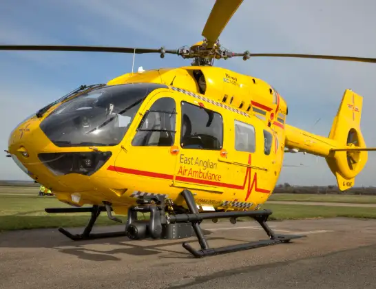
Helicopter: G-HEMC
The helicopter G-HEMC is used as a air ambulance helicopter. The main purpose of this aircraft is to transport a Mobile Medical Team to an incident as quickly as possible, enabling the trauma doctor to provide immediate first aid on site. The aircraft is flying this flight as Air Ambulance Helicopter.
Photo: Jsmauger
11 miles
1150 feet
71 mph
10 minutes
12:00
12:09

Route
Church Road, 12:09
South Norfolk12:08
Burston, South Norfolk12:08
South Norfolk12:07
Diss12:07
South Norfolk12:06
Burston, South Norfolk12:06
South Norfolk12:05
Dickleburgh, South Norfolk12:05
Dickleburgh, Diss12:04
Dickleburgh, South Norfolk12:04
South Norfolk12:03
Tivetshall St Mary, South Norfolk12:03
Pulham St Mary, South Norfolk12:03
Pulham Market, South Norfolk12:02
Tivetshall St Mary, South Norfolk12:01
Tivetshall St Margaret, South Norfolk12:01
Tivetshall St Mary, South Norfolk12:01
Rectory Road, Norwich12:00
Live flights
Police Helicopter on its way from Wrenthorpe15 Jul 23:36
Today
Police Helicopter to MOD St Athan15 Jul 23:53
Flights Diss
Air Ambulance Helicopter to Diss22 Jun 20:53
Air Ambulance Helicopter to Diss, Park Road22 Jun 20:37
Air Ambulance Helicopter to Diss, Thrandeston29 May 20:59
Air Ambulance Helicopter to Norwich Airport1 Mar 13:17
Air Ambulance Helicopter to Diss, Walcot Green12 Jan 20:29
Air Ambulance Helicopter to Norwich Airport12 Jan 16:04
Helicopter flights on your website?
You can easily display helicopter flights on your own website. Use the embed code.
