Air Ambulance Helicopter to Norwich, Clabon Second Close
Monday, 12 January 2026 | 16:05 | From Diss
On Monday, 12 January 2026 at 16:05, a Air Ambulance Helicopter departed from Diss to Norwich. It was the Air Ambulance Helicopter with registration number G-SCAA. The flight lasted 9 minutes. During that period, the aircraft travelled 23 miles at an average speed of 165 miles per hour at a maximum altitude of 1400 feet.
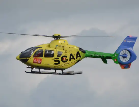
Helicopter: G-SCAA
The helicopter G-SCAA is used as a air ambulance helicopter. The main purpose of this aircraft is to transport a Mobile Medical Team to an incident as quickly as possible, enabling the trauma doctor to provide immediate first aid on site. The aircraft is flying this flight as Air Ambulance Helicopter.
Photo: Jonathan Payne
24 miles
1400 feet
165 mph
9 minutes
16:05
16:13

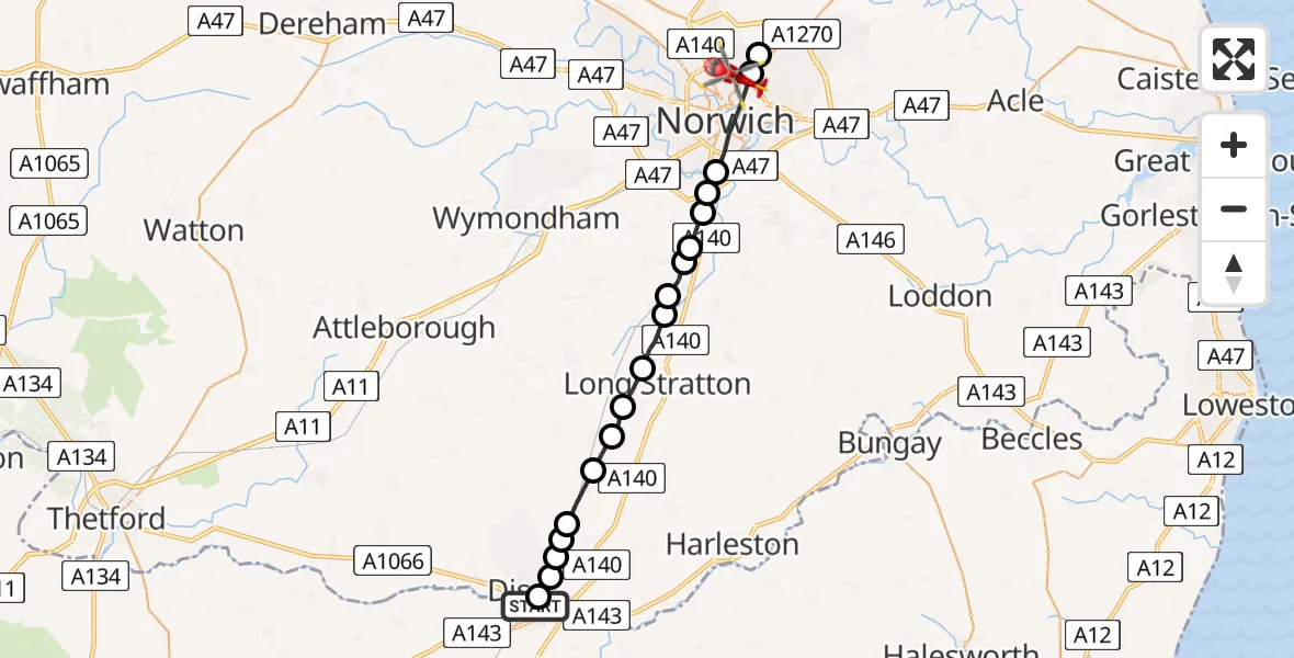
Route
Clabon Second Close, 16:13
Norwich16:13
Broadland16:12
Norwich16:11
Caistor St Edmund, South Norfolk16:11
Keswick, South Norfolk16:10
Swainsthorpe, South Norfolk16:10
Mulbarton, South Norfolk16:10
Newton Flotman, South Norfolk16:09
Tasburgh, South Norfolk16:09
Tharston, South Norfolk16:08
Wacton, South Norfolk16:08
Great Moulton, South Norfolk16:07
Tivetshall St Margaret, South Norfolk16:07
Gissing, South Norfolk16:06
Burston, South Norfolk16:06
Burston, Diss16:05
South Norfolk16:05
Diss, South Norfolk16:05
Maltings Close, 16:05
Live flights
Today
Flights Norwich
Air Ambulance Helicopter to Norwich2 Jul 18:02
Air Ambulance Helicopter to Norwich Airport13 Jun 13:07
Air Ambulance Helicopter to Broadland, Low Road26 Apr 14:03
Flights Diss
Air Ambulance Helicopter to Diss22 Jun 20:53
Air Ambulance Helicopter to Diss, Park Road22 Jun 20:37
Air Ambulance Helicopter to Diss, Thrandeston29 May 20:59
Air Ambulance Helicopter to Norwich Airport1 Mar 13:17
Air Ambulance Helicopter to Diss, Walcot Green12 Jan 20:29
Air Ambulance Helicopter to Norwich Airport12 Jan 16:04
Helicopter flights on your website?
You can easily display helicopter flights on your own website. Use the embed code.
