Air Ambulance Helicopter to University Hospital Southampton
Saturday, 28 February 2026 | 18:50 | From Durnford
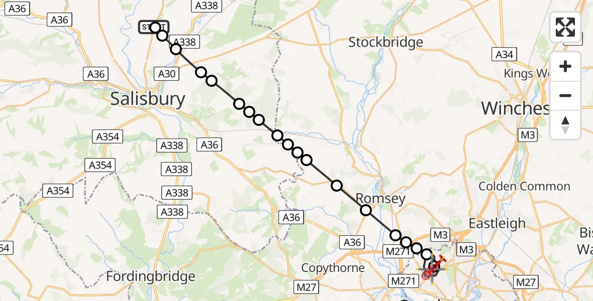
On Saturday, 28 February 2026 at 18:50, a Air Ambulance Helicopter departed from Durnford to University Hospital Southampton. It was the Air Ambulance Helicopter with registration number G-WLTS. The flight lasted 12 minutes. During that period, the aircraft travelled 24 miles at an average speed of 120 miles per hour at a maximum altitude of 1225 feet.
Helicopter: G-WLTS
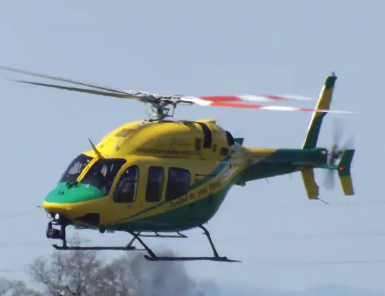
The helicopter G-WLTS is used as a air ambulance helicopter. The main purpose of this aircraft is to transport a Mobile Medical Team to an incident as quickly as possible, enabling the trauma doctor to provide immediate first aid on site. The aircraft is flying this flight as Air Ambulance Helicopter.
Photo: James
24 miles
1225 feet
120 mph
13 minutes
18:50
19:02

Route
University Hospital Southampton, Southampton19:02
University Hospital Southampton, Southampton19:01
University Hospital Southampton, Southampton19:00
Southampton18:57
Rownhams, Southampton18:57
Upton, Southampton18:57
Upton, Romsey18:57
Romsey, Test Valley18:56
Wellow, Test Valley18:55
Sherfield English, Test Valley18:54
Whiteparish18:54
Test Valley18:54
West Tytherley, Test Valley18:54
West Dean18:53
West Winterslow18:53
Farley18:53
Pitton18:52
Clarendon Park18:52
Winterbourne Earls18:51
Winterbourne Dauntsey18:50
Salisbury18:50
High Post Business Park, 18:50
Live flights
Today
Flights Durnford
Helicopter flights on your website?
You can easily display helicopter flights on your own website. Use the embed code.
