Police Helicopter to Cwmaman
Saturday, 28 February 2026 | 16:37 | From MOD St Athan
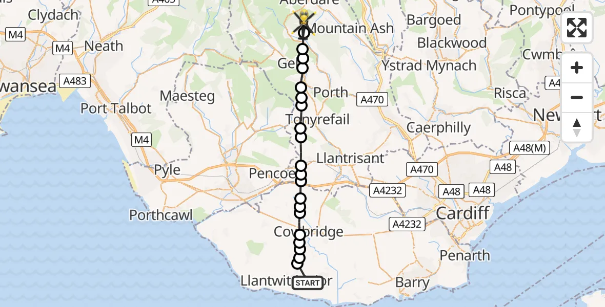
On Saturday, 28 February 2026 at 16:37, a Police Helicopter departed from MOD St Athan to Cwmaman. It was the Police Helicopter with registration number G-NWOI. The flight lasted 8 minutes. During that period, the aircraft travelled 19 miles at an average speed of 140 miles per hour at a maximum altitude of 1775 feet.
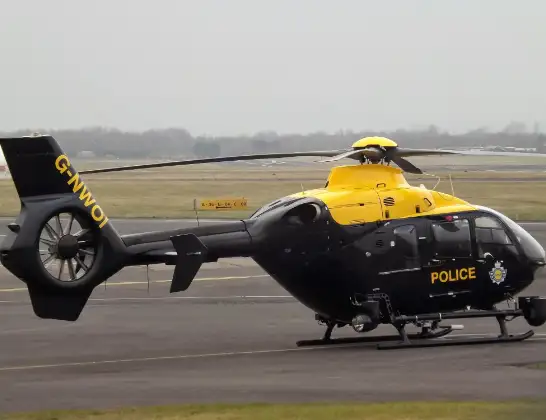
Helicopter: G-NWOI
The helicopter G-NWOI is used by the British police. The helicopter is deployed in pursuits, missing persons cases and other incidents where a helicopter provides added value.
Photo: James from Cheltenham
20 miles
1775 feet
140 mph
9 minutes
16:37
16:45

Route
Cwmaman, 16:45
Aberaman South16:45
Ferndale16:44
Ystrad16:44
Llwynypia16:44
Tonypandy16:43
Pen-y-graig16:43
Gilfach Goch16:42
Hendreforgan16:42
Llanharan16:41
Brynna16:40
Bryncae16:40
Llanilid16:40
Graig Penllyn16:39
Penllyn16:39
Pen-y-lan16:39
Cowbridge16:38
Sigingstone16:38
Cowbridge16:38
Sigingstone16:37
Llanmaes16:37
MOD St Athan, St Athan, Vale of Glamorgan16:37
Live flights
Today
Flights Cwmaman
Police Helicopter to MOD St Athan3 Mar 22:31
Police Helicopter to Cwmaman28 Feb 16:37
Helicopter flights on your website?
You can easily display helicopter flights on your own website. Use the embed code.
