Air Ambulance Helicopter to Ryton-on-Dunsmore, Oxford Road
Friday, 27 February 2026 | 17:16 | From Walcote
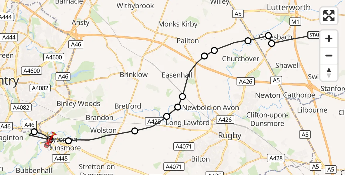
On Friday, 27 February 2026 at 17:16, a Air Ambulance Helicopter departed from Walcote to Ryton-on-Dunsmore. It was the Air Ambulance Helicopter with registration number G-WNAS. The flight lasted 9 minutes. During that period, the aircraft travelled 16 miles at an average speed of 110 miles per hour at a maximum altitude of 975 feet.
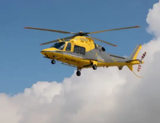
Helicopter: G-WNAS
The helicopter G-WNAS is used as an ambulance helicopter. The helicopter is equipped with a stretcher for transporting patients. The helicopter is often used to transport to hospitals.
Photo: Tony Melony
17 miles
975 feet
110 mph
9 minutes
17:16
17:25

Route
Oxford Road, Rugby17:25
Ryton-on-Dunsmore, Rugby17:25
Coventry Airport, Coventry, West Midlands17:25
Ryton-on-Dunsmore, Rugby17:24
Wolston CP, Rugby17:22
Church Lawford CP, Rugby17:21
Newbold on Avon, Rugby17:20
Long Lawford, Rugby17:20
Harborough Magna CP, Rugby17:19
Pailton CP, Rugby17:19
Monks Kirby CP, Rugby17:18
Lutterworth, Harborough17:17
Harborough17:17
Swinford Road, Harborough17:16
Today
Flights Ryton-on-Dunsmore
Air Ambulance Helicopter to Newton, Betony Road22 Mar 11:55
Flights Walcote
Police Helicopter to Harborough, Sibbertoft Road20 Jan 16:06
Police Helicopter to Welford20 Jan 14:07
Police Helicopter to Marston Trussell12 Jan 16:43
Helicopter flights on your website?
You can easily display helicopter flights on your own website. Use the embed code.
