Air Ambulance Helicopter to Northampton, Blackberry Lane
Wednesday, 18 February 2026 | 15:38 | From Ryton-on-Dunsmore
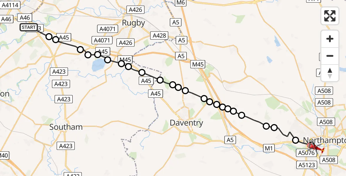
On Wednesday, 18 February 2026 at 15:38, a Air Ambulance Helicopter departed from Ryton-on-Dunsmore to Northampton. It was the Air Ambulance Helicopter with registration number G-WNAS. The flight lasted 12 minutes. During that period, the aircraft travelled 26 miles at an average speed of 127 miles per hour at a maximum altitude of 1900 feet.
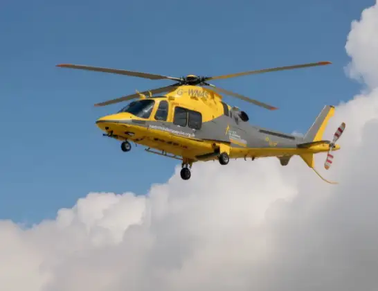
Helicopter: G-WNAS
The helicopter G-WNAS is used as an ambulance helicopter. The helicopter is equipped with a stretcher for transporting patients. The helicopter is often used to transport to hospitals.
Photo: Tony Melony
27 miles
1900 feet
127 mph
13 minutes
15:38
15:50

Route
Blackberry Lane, 15:50
Northampton15:49
Upton15:48
Harpole15:47
Brington15:47
Little Brington15:46
Whilton Airstrip15:45
Long Buckby Wharf15:45
Flore15:45
Long Buckby Wharf15:45
Daventry15:45
Long Buckby Wharf15:44
Welton15:44
Ashby St Ledgers15:43
Barby15:43
Braunston15:43
Willoughby CP, Rugby15:42
Grandborough CP, Rugby15:41
Dunchurch, Rugby15:41
Draycote Water15:41
Thurlaston CP, Rugby15:40
Draycote, Rugby15:40
Bourton on Dunsmore, Rugby15:40
Stretton on Dunsmore CP, Rugby15:39
Rugby15:38
Ryton-on-Dunsmore, Rugby15:38
Today
Flights Northampton
Air Ambulance Helicopter to Coventry Airport7 Jul 19:58
Air Ambulance Helicopter to Sywell Aerodrome3 Jul 07:57
Flights Ryton-on-Dunsmore
Air Ambulance Helicopter to Newton, Betony Road22 Mar 11:55
Helicopter flights on your website?
You can easily display helicopter flights on your own website. Use the embed code.
