Air Ambulance Helicopter to Lytham St Annes, Queensway
Tuesday, 24 February 2026 | 14:13 | From Forton
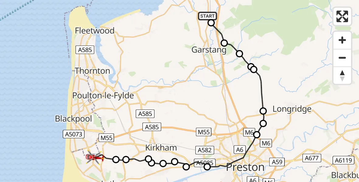
On Tuesday, 24 February 2026 at 14:13, a Air Ambulance Helicopter departed from Forton to Lytham St Annes. It was the Air Ambulance Helicopter with registration number G-NWAA. The flight lasted 14 minutes. During that period, the aircraft travelled 28 miles at an average speed of 123 miles per hour at a maximum altitude of 2800 feet.
Helicopter: G-NWAA
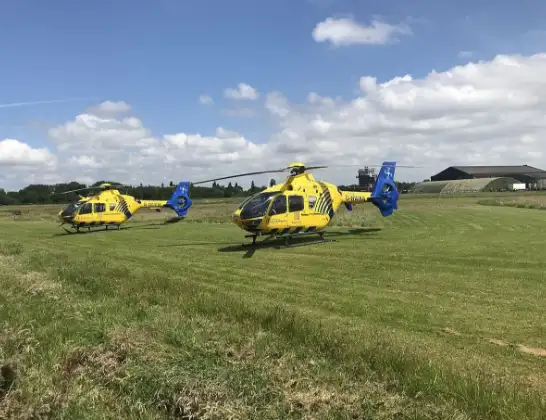
The helicopter G-NWAA is used as a air ambulance helicopter. The main purpose of this aircraft is to transport a Mobile Medical Team to an incident as quickly as possible, enabling the trauma doctor to provide immediate first aid on site. The aircraft is flying this flight as Air Ambulance Helicopter.
Photo: Legion23
28 miles
2800 feet
123 mph
14 minutes
14:13
14:26

Route
Queensway, Fylde14:26
Lytham St Annes, Fylde14:25
Fylde, Lancashire14:25
Wrea Green, Fylde14:24
Warton, Fylde14:24
Freckleton, Fylde14:23
Newton-with-Scales, Fylde14:23
Clifton, Fylde14:22
Lea Town, Preston14:21
Preston, Lancashire14:19
Grimsargh, Preston14:18
Goosnargh, Preston14:18
Preston, Lancashire14:16
Wyre, Lancashire14:16
Claughton, Wyre14:15
Wyre, Lancashire14:14
Scorton, Wyre14:13
Preston Lancaster Road, Wyre14:13
Live flights
Police Helicopter on its way from Ewelme13 Jul 22:24
Today
Police Helicopter to Manchester Barton Aerodrome13 Jul 23:56
Police Helicopter to Bournemouth Airport13 Jul 23:55
Air Ambulance Helicopter to Cardiff Heliport13 Jul 23:38
Police Helicopter to Birmingham Airport13 Jul 23:21
Police Helicopter to Irlam, Twelve Yards Road13 Jul 23:00
Flights Forton
Air Ambulance Helicopter to Blackpool Airport23 Apr 19:45
Air Ambulance Helicopter to Forton, The Meadows24 Feb 13:23
Air Ambulance Helicopter to Forton, School Lane23 Jan 10:04
Helicopter flights on your website?
You can easily display helicopter flights on your own website. Use the embed code.
