Air Ambulance Helicopter to North Weald Airfield, North Weald Airfield
Monday, 23 February 2026 | 15:41 | From Watford
On Monday, 23 February 2026 at 15:41, a Air Ambulance Helicopter departed from Watford to North Weald Airfield. It was the Air Ambulance Helicopter with registration number G-HHEM. The flight lasted 15 minutes. During that period, the aircraft travelled 26 miles at an average speed of 104 miles per hour at a maximum altitude of 975 feet.
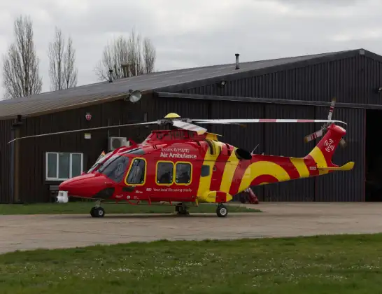
Helicopter: G-HHEM
The helicopter G-HHEM is used as a air ambulance helicopter. The main purpose of this aircraft is to transport a Mobile Medical Team to an incident as quickly as possible, enabling the trauma doctor to provide immediate first aid on site. The aircraft is flying this flight as Air Ambulance Helicopter.
Photo: Ronnie Macdonald
27 miles
975 feet
104 mph
16 minutes
15:41
15:56

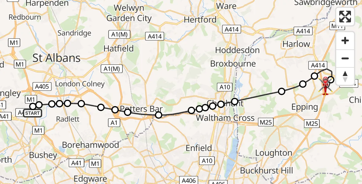
Route
North Weald Airfield, Epping, Essex15:56
North Weald Airfield, Epping, Essex15:55
North Weald Airfield, Epping, Essex15:54
North Weald Bassett, Epping Forest15:52
Thornwood Common, Epping Forest15:52
Epping Green, Epping Forest15:51
Epping Forest, Essex15:50
Cheshunt15:49
Churchgate, Broxbourne15:49
Goffs Oak, Broxbourne15:49
Cheshunt15:48
Dysons Osiers Airstrip, Potters Bar, Hertfordshire15:48
London Borough of Enfield, Greater London15:47
Potters Bar, Hertsmere15:46
South Mimms, Hertsmere15:45
Ridge, Hertsmere15:45
Shenley, Hertsmere15:44
St Albans15:43
Aldenham, Hertsmere15:43
Frogmore, St Albans15:43
Bricket Wood, St Albans15:42
Abbots Langley, Three Rivers15:42
Coates Way, 15:41
Live flights
Today
Flights Watford
Air Ambulance Helicopter to Watford, Coates Way23 Feb 11:48
Helicopter flights on your website?
You can easily display helicopter flights on your own website. Use the embed code.
