Police Helicopter to Llanhilleth, Maescnew Farm Lane
Friday, 27 February 2026 | 11:06 | From Worle
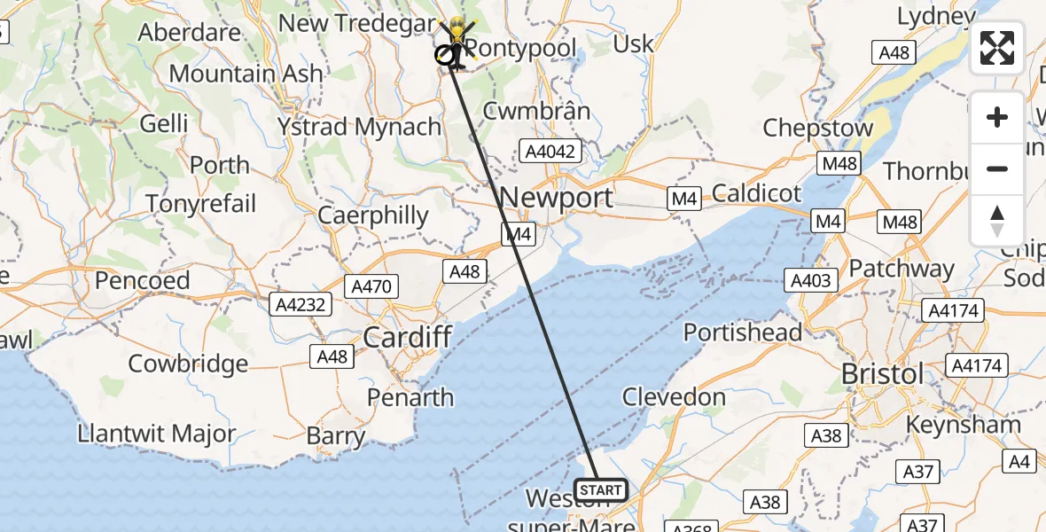
On Friday, 27 February 2026 at 11:06, a Police Helicopter departed from Worle to Llanhilleth. It was the Police Helicopter with registration number G-NWOI. The flight lasted 4 minutes. During that period, the aircraft travelled 25 miles at an average speed of 394 miles per hour at a maximum altitude of 1900 feet.
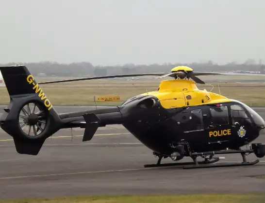
Helicopter: G-NWOI
The helicopter G-NWOI is used by the British police. The helicopter is deployed in pursuits, missing persons cases and other incidents where a helicopter provides added value.
Photo: James from Cheltenham
26 miles
1900 feet
394 mph
4 minutes
11:06
11:10

Route
Maescnew Farm Lane, 11:10
Hafodyrynys11:09
Kewstoke Road, Weston-super-Mare11:06
Live flights
Today
Flights Llanhilleth
Air Ambulance Helicopter to Cardiff Heliport18 Apr 18:38
Air Ambulance Helicopter to Llanhilleth, A46718 Apr 17:54
Flights Worle
Air Ambulance Helicopter to Worle23 Feb 02:34
Air Ambulance Helicopter to Worle23 Feb 02:34
Air Ambulance Helicopter to Worle23 Feb 02:34
Helicopter flights on your website?
You can easily display helicopter flights on your own website. Use the embed code.
