Air Ambulance Helicopter to Coventry Airport, Coventry Airport
Friday, 20 February 2026 | 13:15 | From Rothwell
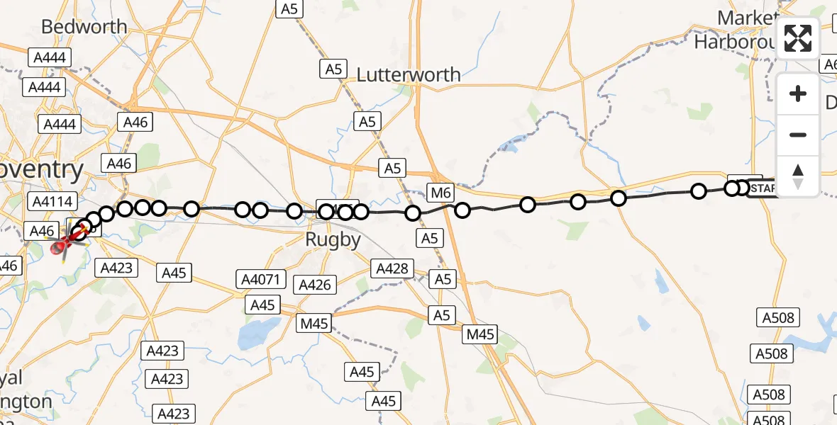
On Friday, 20 February 2026 at 13:15, a Air Ambulance Helicopter departed from Rothwell to Coventry Airport. It was the Air Ambulance Helicopter with registration number G-WNAS. The flight lasted 11 minutes. During that period, the aircraft travelled 25 miles at an average speed of 130 miles per hour at a maximum altitude of 1450 feet.
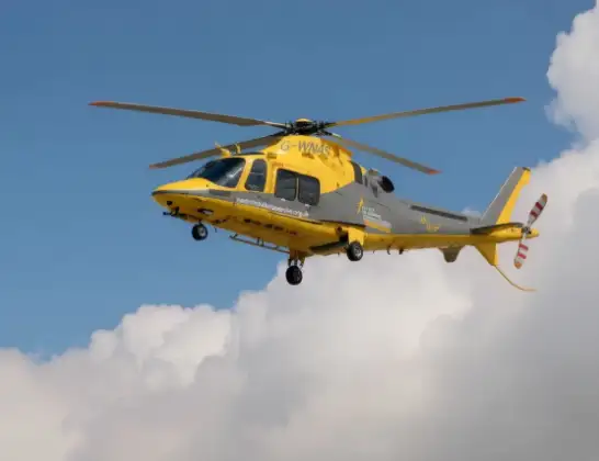
Helicopter: G-WNAS
The helicopter G-WNAS is used as an ambulance helicopter. The helicopter is equipped with a stretcher for transporting patients. The helicopter is often used to transport to hospitals.
Photo: Tony Melony
25 miles
1450 feet
130 mph
12 minutes
13:15
13:26

Route
Coventry Airport, Coventry, West Midlands13:26
Coventry Airport, Coventry, West Midlands13:26
Coventry, West Midlands13:26
Rugby13:25
Coventry, West Midlands13:25
Rugby, West Midlands13:25
Binley Woods CP, Rugby13:25
Brandon, Rugby13:24
Bretford, Rugby13:24
King's Newnham CP, Rugby13:23
Newbold on Avon, Rugby13:23
Long Lawford, Rugby13:22
Newbold on Avon, Rugby13:22
Rugby13:22
Newton, Rugby13:21
Clifton upon Dunsmore CP, Rugby13:21
Lilbourne13:20
Clay Coton13:19
Elkington13:18
Cold Ashby13:18
Naseby13:16
Haselbech13:16
Kelmarsh13:16
A14, 13:15
Live flights
Today
Flights Rothwell
Air Ambulance Helicopter to Rothwell, A1420 Feb 12:30
Helicopter flights on your website?
You can easily display helicopter flights on your own website. Use the embed code.
