Air Ambulance Helicopter to Wiltshire Air Ambulance, Commerce Way
Monday, 16 February 2026 | 13:40 | From Ludgershall
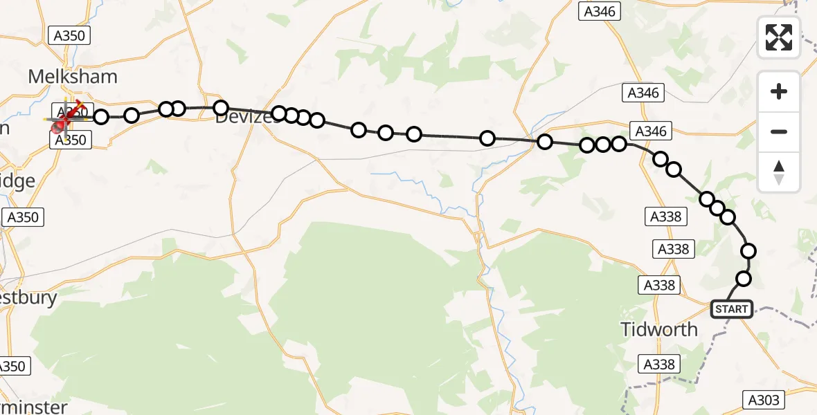
On Monday, 16 February 2026 at 13:40, a Air Ambulance Helicopter departed from Ludgershall to Wiltshire Air Ambulance. It was the Air Ambulance Helicopter with registration number G-WLTS. The flight lasted 16 minutes. During that period, the aircraft travelled 28 miles at an average speed of 102 miles per hour at a maximum altitude of 1725 feet.
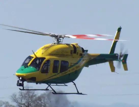
Helicopter: G-WLTS
The helicopter G-WLTS is used as a air ambulance helicopter. The main purpose of this aircraft is to transport a Mobile Medical Team to an incident as quickly as possible, enabling the trauma doctor to provide immediate first aid on site. The aircraft is flying this flight as Air Ambulance Helicopter.
Photo: James
28 miles
1725 feet
102 mph
17 minutes
13:40
13:57

Route
Wiltshire Air Ambulance13:57
Commerce Way, 13:56
Melksham13:55
Seend Cleeve13:54
Seend13:53
Devizes13:53
Rowde13:52
Devizes13:51
Bishops Cannings13:51
Devizes Airstrip, Coate13:50
Bishops Cannings13:50
Etchilhampton13:49
All Cannings13:49
Stanton St Bernard13:48
Woodborough13:47
Pewsey13:46
Milton Lilbourne13:45
Easton Royal13:45
Easton13:45
Burbage13:44
Grafton13:44
Collingbourne Kingston13:43
Grafton13:43
Collingbourne Kingston13:43
Chute13:42
Collingbourne Ducis13:41
Wood Park, 13:40
Live flights
Today
Flights Ludgershall
Police Helicopter to Perham Down, Cow Lane12 Jan 11:46
Police Helicopter to Ludgershall, Ludgershall12 Jan 11:01
Helicopter flights on your website?
You can easily display helicopter flights on your own website. Use the embed code.
