Police Helicopter to Perham Down, Cow Lane
Monday, 12 January 2026 | 11:46 | From Ludgershall
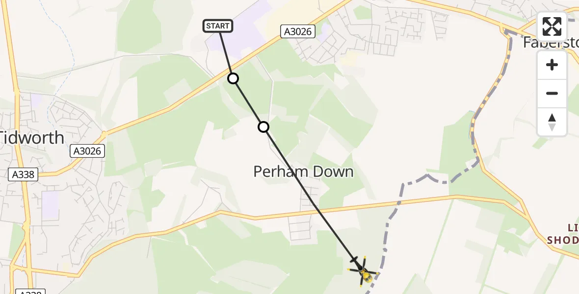
On Monday, 12 January 2026 at 11:46, a Police Helicopter departed from Ludgershall to Perham Down. It was the Police Helicopter with registration number G-BZRS. The flight lasted 1 minutes. During that period, the aircraft travelled 1 miles at an average speed of 88 miles per hour at a maximum altitude of 1250 feet.
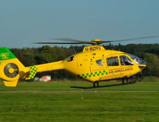
Helicopter: G-BZRS
The helicopter G-BZRS is used by the British police. The helicopter is deployed in pursuits, missing persons cases and other incidents where a helicopter provides added value.
Photo: NMOS332
2 miles
1250 feet
88 mph
2 minutes
11:46
11:47

Route
Cow Lane, 11:47
Perham Down11:47
A3026, 11:46
Ludgershall11:46
Live flights
Police Helicopter on its way from Wrenthorpe15 Jul 23:36
Today
Police Helicopter to MOD St Athan15 Jul 23:53
Flights Ludgershall
Police Helicopter to Perham Down, Cow Lane12 Jan 11:46
Police Helicopter to Ludgershall12 Jan 11:01
Helicopter flights on your website?
You can easily display helicopter flights on your own website. Use the embed code.
