Air Ambulance Helicopter to Slaley, Coal Road
Monday, 9 February 2026 | 8:59 | From Edenhall
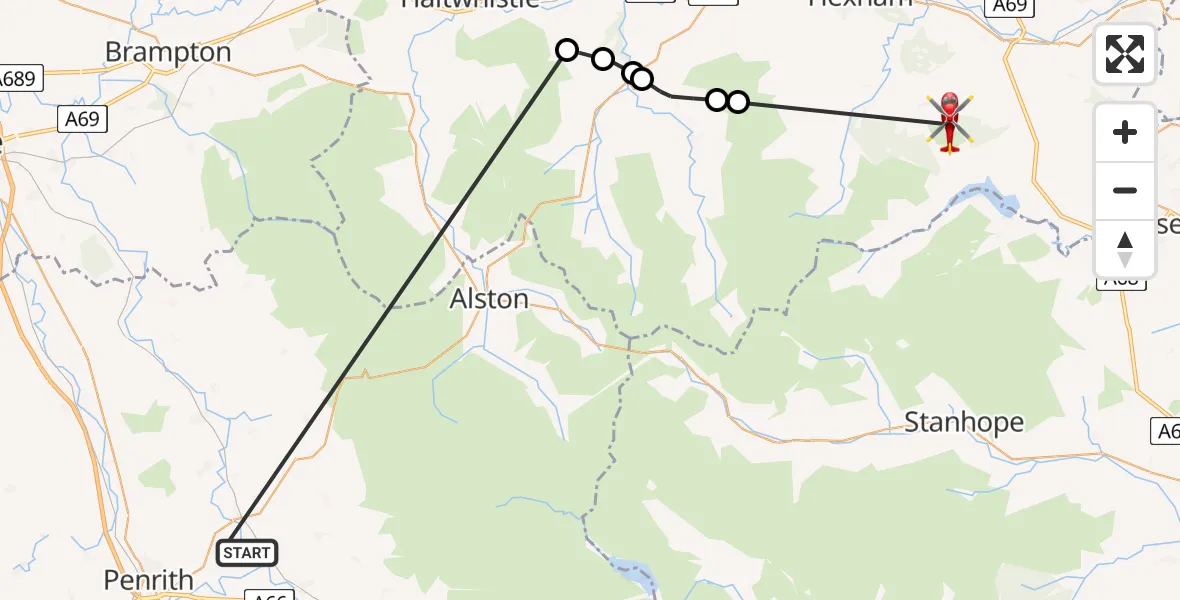
On Monday, 9 February 2026 at 8:59, a Air Ambulance Helicopter departed from Edenhall to Slaley. It was the Air Ambulance Helicopter with registration number G-NHAE. The flight lasted 17 minutes. During that period, the aircraft travelled 37 miles at an average speed of 134 miles per hour at a maximum altitude of 2225 feet.
Helicopter: G-NHAE
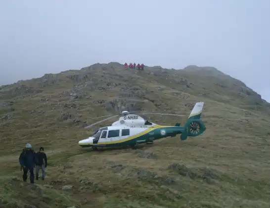
The helicopter G-NHAE is used as a air ambulance helicopter. The main purpose of this aircraft is to transport a Mobile Medical Team to an incident as quickly as possible, enabling the trauma doctor to provide immediate first aid on site. The aircraft is flying this flight as Air Ambulance Helicopter.
Photo: Michael Earnshaw
37 miles
2225 feet
134 mph
17 minutes
08:59
09:16

Route
Coal Road, North East09:16
Hexhamshire, North East09:12
Allendale, North East09:11
Catton, North East09:10
Haydon, North East09:10
Plenmeller with Whitfield, North East09:10
Bardon Mill, North East09:09
Ladies Walk, 08:59
Today
Police Helicopter to Falkirk02:12:08
Flights Slaley
Air Ambulance Helicopter to Slaley, Lead Road23 May 19:02
Air Ambulance Helicopter to Greenhead9 Feb 16:50
Flights Edenhall
Air Ambulance Helicopter to Edenhall13 Jul 14:27
Air Ambulance Helicopter to Edenhall7 Jul 09:38
Air Ambulance Helicopter to Stainton7 Jul 08:41
Air Ambulance Helicopter to Skirwith1 Jul 09:53
Air Ambulance Helicopter to Kirkby Ireleth29 Jun 09:21
Air Ambulance Helicopter to Edenhall, B641228 Jun 15:45
Helicopter flights on your website?
You can easily display helicopter flights on your own website. Use the embed code.
