Police Helicopter to Lancaster, Lancaster
Wednesday, 28 January 2026 | 4:39 | From Common Edge
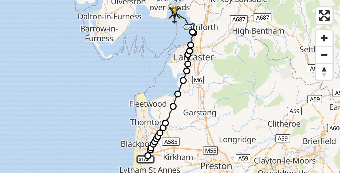
On Wednesday, 28 January 2026 at 4:39, a Police Helicopter departed from Common Edge to Lancaster. It was the Police Helicopter with registration number G-EMID. The flight lasted 13 minutes. During that period, the aircraft travelled 31 miles at an average speed of 148 miles per hour at a maximum altitude of 2900 feet.
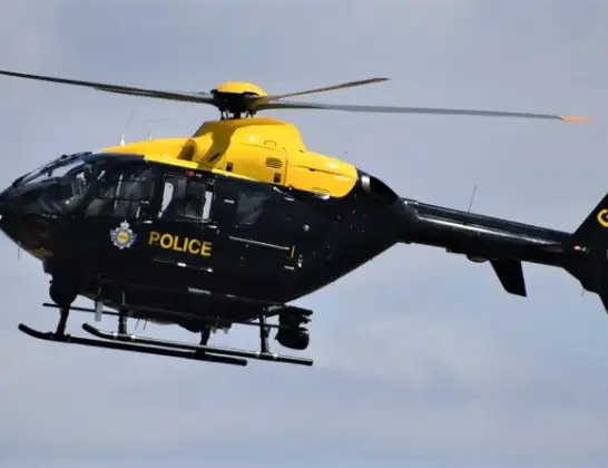
Helicopter: G-EMID
The helicopter G-EMID is used by the British police. The helicopter is deployed in pursuits, missing persons cases and other incidents where a helicopter provides added value.
Photo: Alec Wilson
32 miles
2900 feet
148 mph
13 minutes
04:39
04:52

Route
Lancaster, Lancashire04:52
Lancaster, Lancashire04:49
Bolton le Sands, Lancaster04:49
Hest Bank, Lancaster04:48
Lancaster, Lancashire04:48
Scale Hall Airfield, Lancaster04:47
Aldcliffe, Lancaster04:47
Lancaster, Lancashire04:46
Glasson Dock, Lancaster04:46
Lancaster, Lancashire04:44
Pilling, Wyre04:43
Wyre, Lancashire04:42
Hambleton, Wyre04:42
Little Singleton, Fylde04:41
Singleton, Fylde04:41
Hardhorn, Wyre04:41
Fylde, Lancashire04:40
Staining, Fylde04:40
Little Marton, Lancashire04:40
Mereside, Lancashire04:40
Fylde, Lancashire04:39
Common Edge Road, Lancashire04:39
Live flights
Today
Police Helicopter to Epping Forest, Green Lane26 Feb 23:43
Flights Lancaster
Police Helicopter to Lancaster, Bulk Street9 Feb 01:15
Police Helicopter to Lancaster, Halton Road9 Feb 01:10
Police Helicopter to Squires Gate, Dalton Avenue28 Jan 05:18
Police Helicopter to Lancaster, Lancaster28 Jan 04:39
Helicopter flights on your website?
You can easily display helicopter flights on your own website. Use the embed code.
