Air Ambulance Helicopter to Lancaster, Patterdale Road
Monday, 16 February 2026 | 11:01 | From Halton
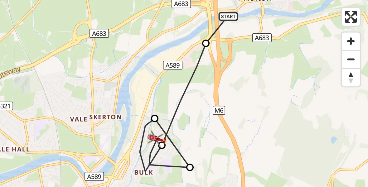
On Monday, 16 February 2026 at 11:01, a Air Ambulance Helicopter departed from Halton to Lancaster. It was the Air Ambulance Helicopter with registration number G-NWAA. The flight lasted 3 minutes. During that period, the aircraft travelled 4 miles at an average speed of 73 miles per hour at a maximum altitude of 1400 feet.
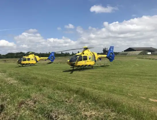
Helicopter: G-NWAA
The helicopter G-NWAA is used as a air ambulance helicopter. The main purpose of this aircraft is to transport a Mobile Medical Team to an incident as quickly as possible, enabling the trauma doctor to provide immediate first aid on site. The aircraft is flying this flight as Air Ambulance Helicopter.
Photo: Legion23
4 miles
1400 feet
73 mph
3 minutes
11:01
11:04

Route
Patterdale Road, Lancashire11:04
Lancaster, Lancashire11:03
Quernmore, Lancaster11:03
Lancaster, Lancashire11:02
Quernmore, Lancaster11:01
Church Brow, Lancaster11:01
Live flights
Today
Flights Lancaster
Air Ambulance Helicopter to Blackpool Airport11 Jul 11:17
Air Ambulance Helicopter to Blackpool Airport30 Jun 15:32
Air Ambulance Helicopter to Lancaster24 Jun 15:16
Air Ambulance Helicopter to Lancaster6 Jun 13:42
Coastguard Helicopter to Lancaster, The Prom27 May 20:43
Flights Halton
Air Ambulance Helicopter to Halton, High Road16 Feb 09:30
Helicopter flights on your website?
You can easily display helicopter flights on your own website. Use the embed code.
